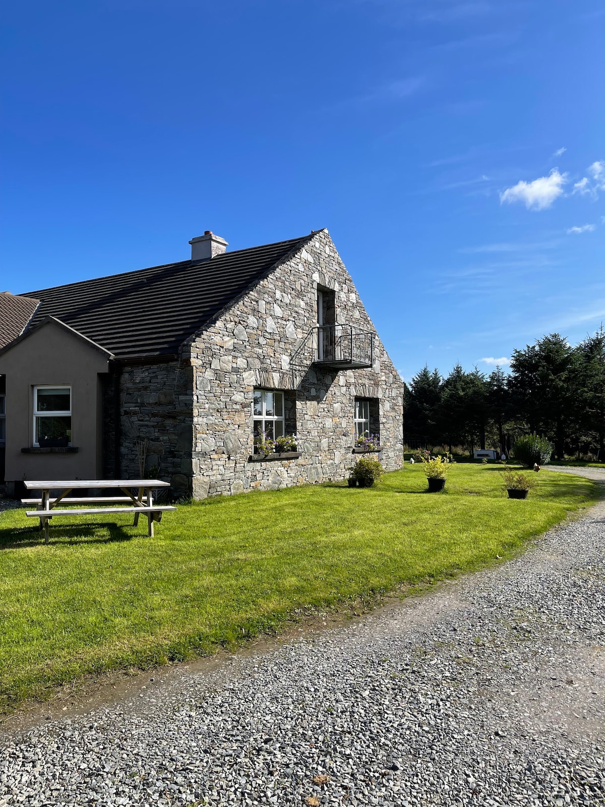
What is recorded here
Beside a small stream, called 'Sruffaunbrandraghmore' on OS 6-inch map, in a broad shallow valley that opens out at Renvyle Point to the NW. Poor remains of a low grassy mound (L 13m, Wth 3m, H c. 0.5m) which has been deliberately cut through to alter the course of the stream; this previously looped around its W, N and E sides. Burnt stone and charcoal flecks visible in section face on N bank of stream.
The above description is derived from the published 'Archaeological Inventory of County Galway Vol. I - West Galway'. Compiled by Paul Gosling (Dublin: Stationery Office, 1993).
Date of upload: 05 August 2010
The monument record does not grant public access. Check the route and ask the landowner before entering private land.
- What survives
- Recorded monument
Places near here
 Rinvyle Church . . . (in ruins)Church · 359 yd
 Well of the Seven DaughtersHoly well · 405 yd
 Enclosure in ArdnagreevaghEnclosure · 539 yd
 Rinvyle Castle (in ruins)Castle, tower house · 586 yd
 Renvyle CastleCastle · 587 yd
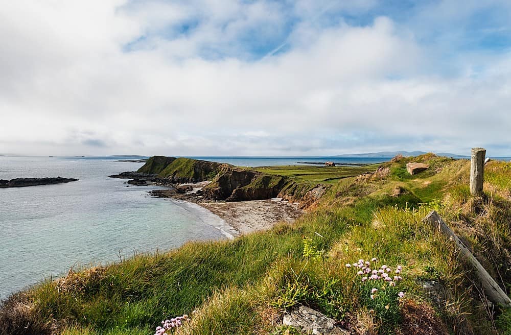 Rinvyle PointHeadland · 1544 yd
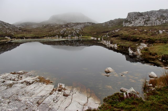 Tully Mountain WestMountain / peak · 1.1 mi
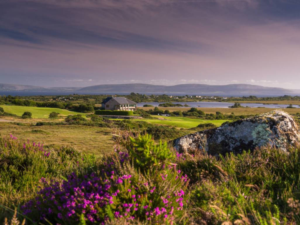 Freaghillaun NorthIslet · 1.1 mi
 Green IslandIslet · 1.1 mi
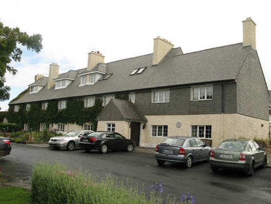 Renvyle House Hotelhotel · 1.3 mi
 Tully MountainMountain / peak · 1.7 mi
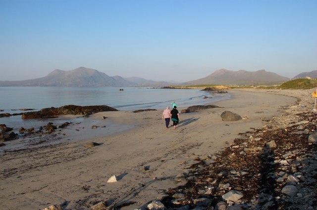 Renvyle BeachBeach / strand · 1.9 mi
Other information
Photo: Credit not shown in the picture search · Rights wording not checked; contact us if this picture should be removed