What is recorded here
In pasture, located on the level top of a NW–SE ridge, with a steep fall of ground to SE and more gradual slope to NE. Extensive views W–E. An enclosure (MA071-152----) and children’s burial ground (MA071-152001-) are 25m to S on the same ridge top. The area is strewn with limestone boulders.
Slightly raised circular area (5.5m N–S; 5.8m E–W) defined by a stone kerb (H 0.4-0.7m). The kerb is composed of close-set, occasionally contiguous, limestone boulders of irregular size and shape. A kink in the field fence which lies immediately to SSE appears to respect the curve of the monument.
Compiled by: Jane O’Shaughnessy
Date of upload: 27 September 2021
The monument record does not grant public access. Check the route and ask the landowner before entering private land.
- What survives
- Recorded monument
Places near here
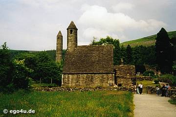 IndicatedEnclosure · 55 yd
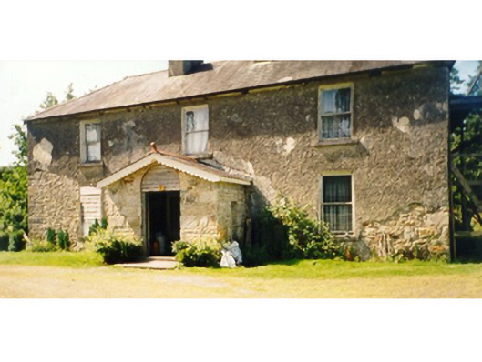 Killedan Housefarm house · 1564 yd
 Dan's Cottagefarm house · 1704 yd
 Enclosure in Clooneen (gallen By.)Enclosure · 1.8 mi
 Thorn CaveCave · 2.2 mi
 I'll Send You The FareMemorial · 2.8 mi
 Kiltimagh MuseumMuseum · 3.0 mi
 Carrowbeg WoodWood · 3.6 mi
 CashlankeeghCastle, unclassified · 3.8 mi
 Shonagawna Castle in RuinsCastle, unclassified · 4.3 mi
 Michael DavittMemorial · 4.8 mi
 Brabazon WoodsForest · 5.1 mi