What is recorded here
Within the E half of a cashel (GA104-248----). A possible rectangular house site (11m N-S) is defined by a low bank of earth and stones (Wth 0.98m; int. H 1.5m; ext. H 0.79m) that abuts the cashel wall.
Compiled by: Olive Alcock
Date of upload: 8 March 2018
The monument record does not grant public access. Check the route and ask the landowner before entering private land.
- What survives
- Recorded monument
Places near here
 IndicatedFairy fort / stone ringfort · 381 yd
 Ardnamoran ChurchChurch · 698 yd
 Enclosure in BallynamanninEnclosure · 847 yd
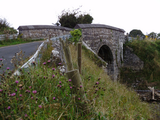 bridgebridge · 858 yd
 Cloghroak Castle (in ruins)Castle, tower house · 1.2 mi
 CarnanthomasCastle, unclassified · 1.7 mi
 Moyard WoodWood · 5.0 mi
 Kilcornan ForestWood · 5.0 mi
 Drumharsna CastleHeritage attraction · 5.2 mi
 MweenisharanIslet · 7.9 mi
 Mulroney's IslandIslet · 8.6 mi
 Mweenish PointHeadland · 9.0 mi