What is recorded here
Located on top of a broad hill, and inside rath (ME002-031----) at NW. The grass-covered foundations of a rectangular house (max. dims 7.5m NE-SW; 4.8m NW-SE) are defined by a spread of stone (Wth 1.3m; max. H 1m). An entrance is not noted.
Compiled by: Michael Moore
Date of upload: 31 August 2018
The monument record does not grant public access. Check the route and ask the landowner before entering private land.
- What survives
- Recorded monument
Places near here
 Enclosure in RaloaghanEnclosure · 886 yd
 Cross in EnniskeenCross · 1434 yd
 Miltown GlenWood · 1.3 mi
 The CurraghWood · 1.3 mi
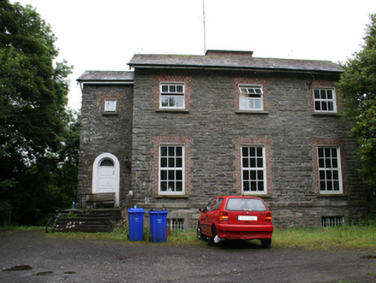 rectory/glebe/vicarage/curate's houserectory/glebe/vicarage/curate's house · 1.4 mi
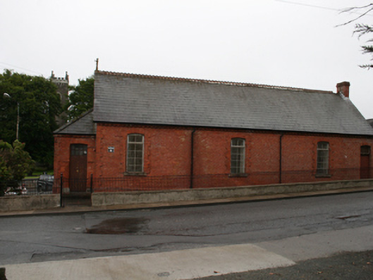 Kingscourt Parochial Hallchurch hall/parish hall · 1.6 mi
 BarleyhillMountain / peak · 2.3 mi
 CabraMountain / peak · 2.3 mi
 In Memory of Our DadMemorial · 2.6 mi
 Natural Play AreaMemorial · 2.6 mi
 Cloghreagh Castle in RuinsCastle, unclassified · 2.7 mi
 Castle ruinsCastle, unclassified · 2.7 mi