What is recorded here
On a glacial knoll just W of a tributary of Joyce River. A subcircular hut (E-W 5.2m, N-S 5m) defined by a bank of earth and stone with traces of an inner stone facing at NE. A gap at S could be original.
The above description is derived from the published 'Archaeological Inventory of County Galway Vol. I - West Galway'. Compiled by Paul Gosling (Dublin: Stationery Office, 1993).
Date of upload: 05 August 2010
The monument record does not grant public access. Check the route and ask the landowner before entering private land.
- What survives
- Recorded monument
Places near here
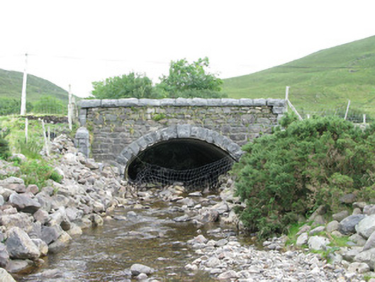 bridgebridge · 76 yd
 Tobernashaght-ninneenHoly well · 1023 yd
 RinavoreMountain / peak · 1614 yd
 WaterfallHeritage attraction · 1.4 mi
 Taobh DubhMountain / peak · 1.6 mi
 Enclosure in An ChorrEnclosure · 2.1 mi
 The Sheep And Wool Heritage CentreHeritage attraction · 2.4 mi
 Céibh an Lionáinharbour/dock/port · 2.7 mi
 Aasleagh WaterfallWaterfall · 3.5 mi
 HawthornHawthorn · 4.7 mi
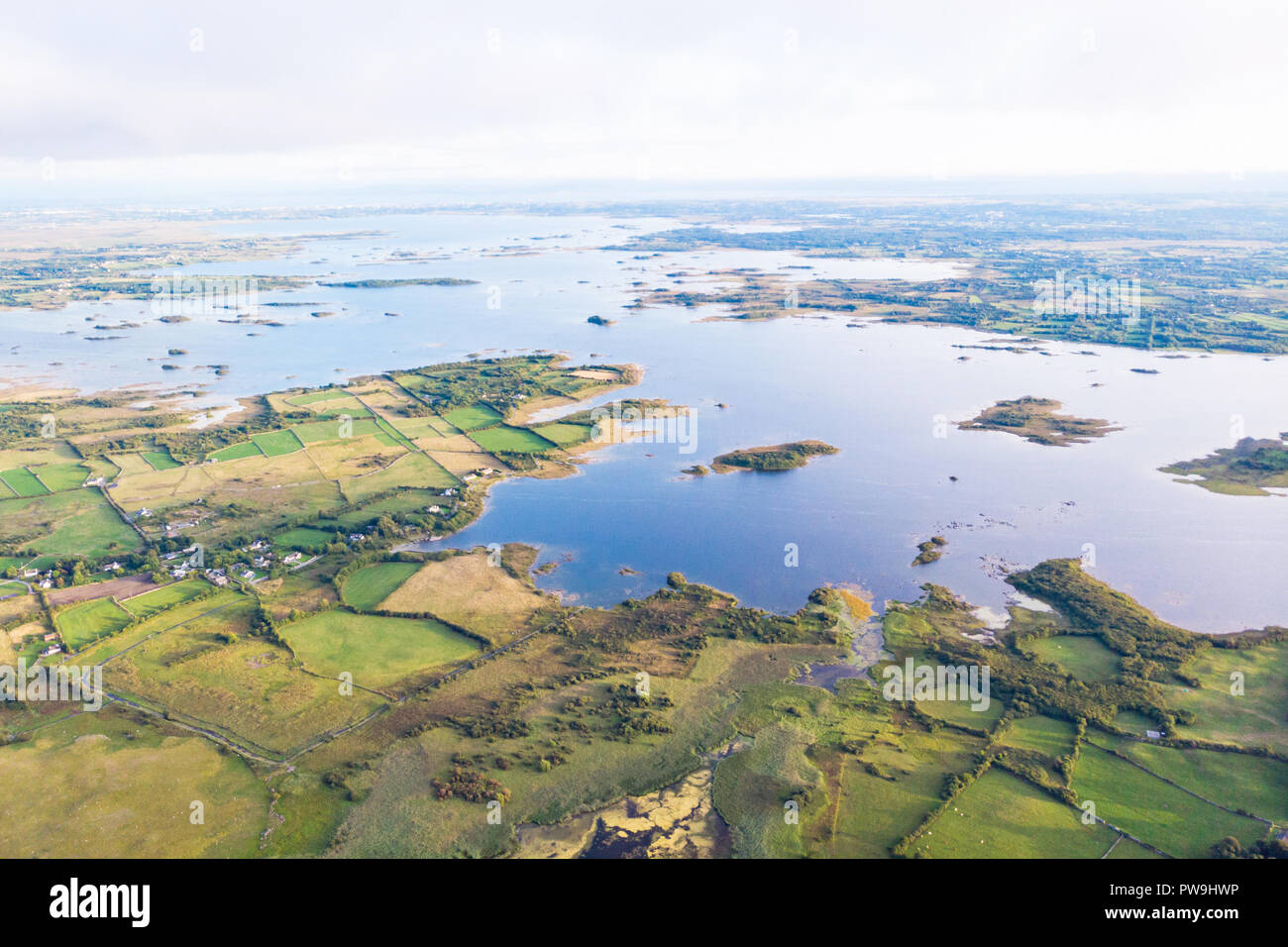 Red IslandIslet · 5.2 mi
 Crows IslandIslet · 5.2 mi