What is recorded here
Located just off top of ridge of rising ground on NE facing slope with good views in all directions. Levelled R. C. Chapel (WM025-154----) located 60m to N, medieval church site (WM025-011----) and graveyard (WM025-011002-) 100m to N. Well preserved ringfort (WM025-012----) which is now fenced off and inaccessible due to dense cover of scrub vegetation around the perimeter of the monument. The presence of a rectangular house site aligned NW-SE in the ESE quadrant of the ringfort was recorded in 1971 by Archaeological Survey of Ireland (SMR File 09/04/1971). In this year the monument was described as following; ‘inside the bank on the ESE there is a rectangular NW-SE house site (int. dims. 8.7m x 6.5m) represented by remains of an earth and stone bank (H 0.5m; Wth 1.2m). It is gapped in a few places and the doorway cannot be recognised’ (SMR File 09/04/1971).
Compiled by: Caimin O’Brien
Date of upload: 30 July 2014
The monument record does not grant public access. Check the route and ask the landowner before entering private land.
- What survives
- Recorded monument
Places near here
 Ancient Ring FortWood · 23 yd
 R.C. ChapelChapel · 124 yd
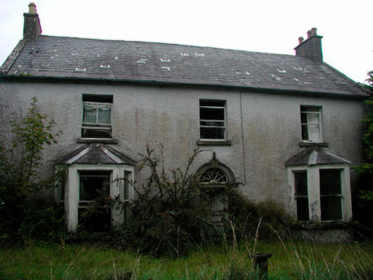 Churchtown Househouse · 183 yd
 IndicatedSettlement deserted, medieval · 570 yd
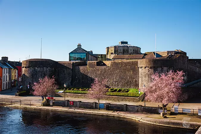 Oldtown CastleCastle · 768 yd
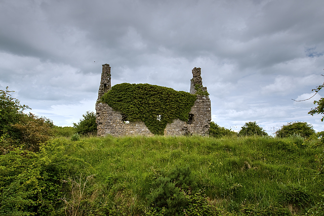 Dundonnell CastleCastle, unclassified · 1113 yd
 RathglassEnclosure, large enclosure · 1352 yd
 Hill of UisneachMountain / peak · 3.1 mi
 European ashEuropean ash · 4.0 mi
 Carrickphilbin IslandIslet · 5.9 mi
 Srudarra IslandIslet · 6.1 mi
 Abbeyshrule AbbeyRuins · 9.1 mi