What is recorded here
Located in the SW quadrant of a rath (MA022-037).
This possible hut site consists of a very low, circular platform (diam. c. 7.5m) defined on its perimeter by a slightly raised rim (Wth 1.2m; H 0.1m), most clearly defined at S.
Compiled by: Jane O’Shaughnessy
Date of upload: 30 April 2019
The monument record does not grant public access. Check the route and ask the landowner before entering private land.
- What survives
- Recorded monument
Places near here
 IndicatedFairy fort / earthen ringfort · 5 yd
 Bawn in Meelick (tirawley By.)Bawn · 387 yd
 Enclosure in Meelick (tirawley By.)Enclosure · 427 yd
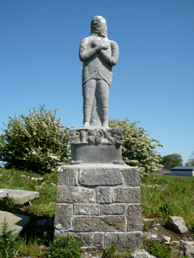 Grave monumentGrave monument · 846 yd
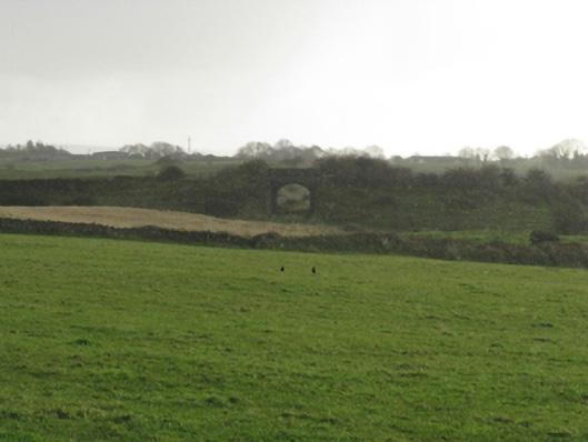 bridgebridge · 1011 yd
 CastleCastle, unclassified · 1547 yd
 Battle of Killalabattle · 1652 yd
 Battlefields of MoyneBattlefield · 1.1 mi
 Green IslandIslet · 1.1 mi
 Moyne AbbeyHeritage attraction · 1.5 mi
 Rinnaun PointHeadland · 1.7 mi
 Bartragh IslandIsland · 2.0 mi