What is recorded here
Situated in SE quadrant of ringfort (WM005-026----). A roughly square-shaped depression or hollow (dims. 5.5m x 4.4m) of uncertain date or function is visible in ENE quadrant of ringfort immediately E of house site (WM026-005001-). This depression may be the result of quarrying although it has been suggested that this sunken area may represent the remains of a second house site (WM026-005002-) defined by a low earthen bank (Wth 3m; int. H 0.3m; ext. H 0.5m).
See attached sketch plan of monument drawn by ASI fieldworker c. 1971
Compiled by: Caimin O'Brien
Date of upload: 16 August 2017
The monument record does not grant public access. Check the route and ask the landowner before entering private land.
- What survives
- Recorded monument
Places near here
 Partially hachuredFairy fort / earthen ringfort · 177 yd
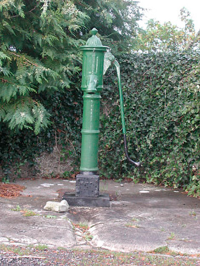 water pumpwater pump · 891 yd
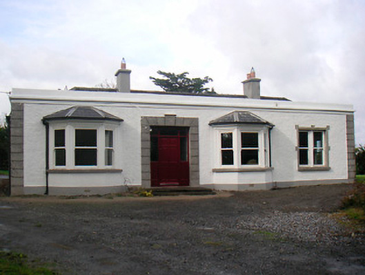 Mount Lynnhouse · 927 yd
 Ecclesiastical enclosure in LynnEcclesiastical enclosure · 1443 yd
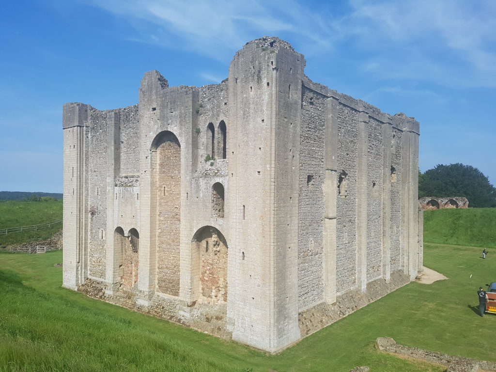 CastleCastle, unclassified · 1516 yd
 Petits Castle Mote & Mill (Site of)Castle, unclassified · 1.3 mi
 Famine MemorialMemorial · 1.4 mi
 The Chimera GalleryGallery · 1.4 mi
 Mullingar Cathedral MuseumMuseum · 1.5 mi
 Augustinian Monks Memorial StatueMemorial · 1.5 mi
 Saint Brigid's WellSpring · 3.0 mi
 Ash IslandIslet · 3.5 mi