What is recorded here
Just NW of the centre of rath (ME015-039----) a possible house site was visible in 1969 as a slightly sunken grass-covered area (int. dims 9.7m NW-SE; 6.2m NE-SW) defined by an earthen bank (Wth of base 1.5m; int. H 0.4m; ext. H 0.25m) that was largely missing at SW and NW but which had a probable entrance (Wth of base 1.4m) at SE. Visible evidence of the monument had been removed by 2000 (OSAP). (SMR file)
Compiled by: Michael Moore
Date of upload; 8 January 2019
The monument record does not grant public access. Check the route and ask the landowner before entering private land.
- What survives
- Recorded monument
Places near here
 Fairy fort / earthen ringfort in LoughcrewFairy fort / earthen ringfort · 240 yd
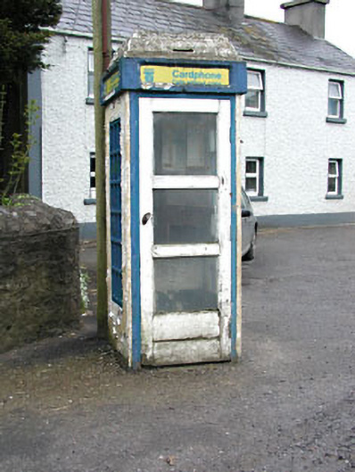 telephone boxtelephone box · 852 yd
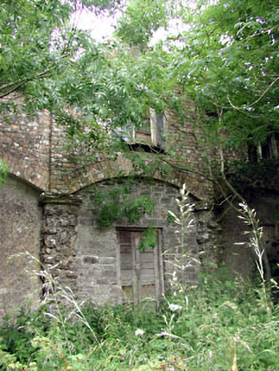 Loughcrew Housegate lodge · 916 yd
 European YewEuropean Yew · 1156 yd
 Common LimeCommon Lime · 1176 yd
 Zip WireHeritage attraction · 1176 yd
 MoatCastle, motte · 1212 yd
 Green CastleCastle, unclassified · 1748 yd
 Enclosure in LoughcrewEnclosure · 1.0 mi
 Carnbane WestMountain / peak · 1.4 mi
 C11Named rock · 1.4 mi
 LoughcrewMegalithic tomb cemetery · 1.4 mi