What is recorded here
A rectangular hut-site (int. dims 6.4 NW-SE; 4.6m NE-SW; ext. dims. 8.4m NW-SE; 7.2m NE-SW) is c. 20m outside the perimeter of ringfort (LE001-002001-) at NW.
See the attached view from the E.
Compiled by: Michael Moore
Date of upload: 11 December, 2015
The monument record does not grant public access. Check the route and ask the landowner before entering private land.
- What survives
- Recorded monument
Places near here
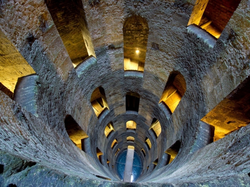 St. Patricks WellHoly well · 29 yd
 IndicatedHoly well · 264 yd
 Giant's GraveArchaeological place · 1.2 mi
 Saint Patrick's Catholic Churchchurch/chapel · 1.6 mi
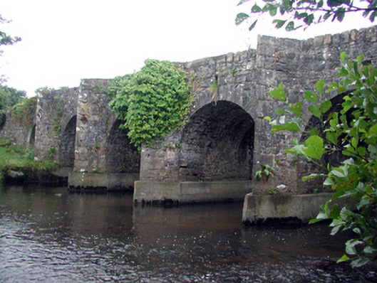 Mary's Bridgebridge · 1.7 mi
 Bawn in DuncarbryBawn · 2.0 mi
 Bundrowes Castle (Site of)Castle, unclassified · 2.3 mi
 Creevykeel Court TombNeolithic court tomb · 2.9 mi
 assassination of Louis Mountbatten, 1st Earl Mountbatten of Burmaassassination · 2.9 mi
 Unbaptised Children MonumentMemorial · 3.2 mi
 Classiebawn WoodsWood · 3.5 mi
 Wild Atlantic Way: Mullaghmore HeadVisitor information · 3.6 mi