What is recorded here
Situated on the W side of Ballycahill ridge, c.300m W of the prehistoric settlement site (TN020-137), with commanding views to the W. Site uncovered during monitoring/testing in advance of Nenagh Bypass. A circular hut structure (dims. 3.3m x 3.7m) defined by a foundation trench (D 0.05-0.2m). Internally there was a linear arrangement of three post-holes, with two smaller supporting post-holes situated off-centre (O'Brien 2000, 196-7). At the NE corner there was a gap of 1.4m in the foundation trench which probably indicated the entrance, flanked on one side by a post-hole, the other side was disturbed (ibid.). SW of the house was a number of random pits and post-holes and two large rubbish pits. A spindle whorl was found in one of the post-holes and a rubbing stone, grinding stone, burnt bone, wood reags and two saddle querns were recovered from the pits, as well as charcoal, animal teeth and chert flakes (ibid.).
Compiled by: Caimin O'Brien.
Date of upload: 22 September 2008
The monument record does not grant public access. Check the route and ask the landowner before entering private land.
- What survives
- Recorded monument
Places near here
 Ballycahill Church (site of)Church · 229 yd
 Ballycahill Castle (in ruins)Castle, unclassified · 341 yd
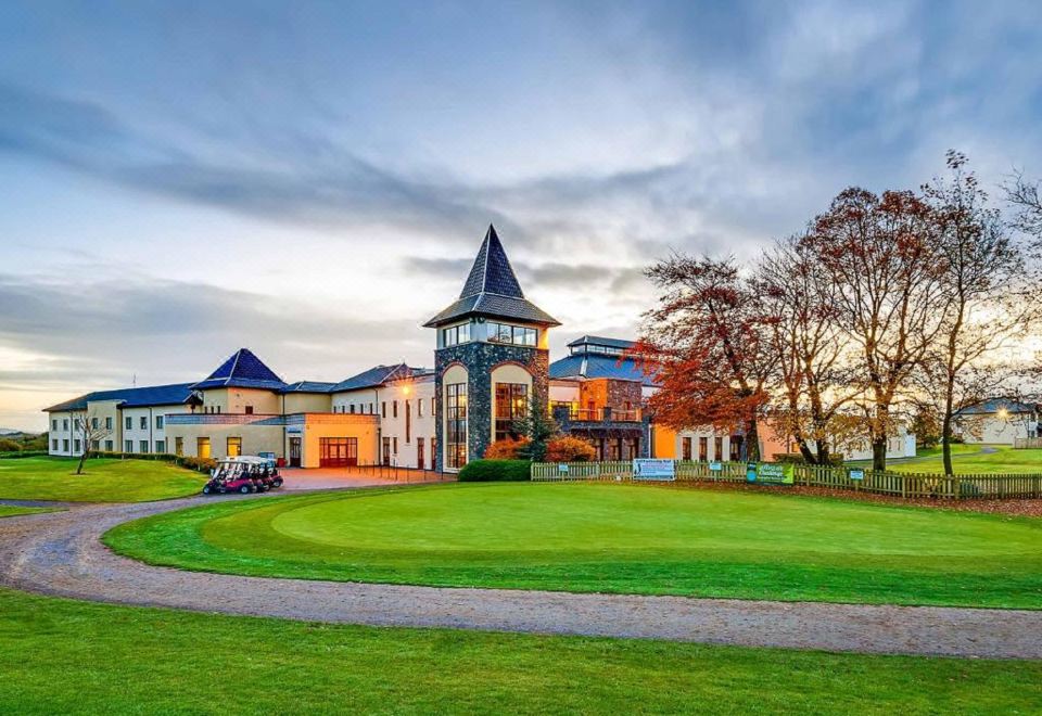 Enclosure in Ballycahill (kilmore Par., North Riding)Enclosure · 386 yd
 ShannacloghRuins · 940 yd
 Tullahedy CastleCastle · 1067 yd
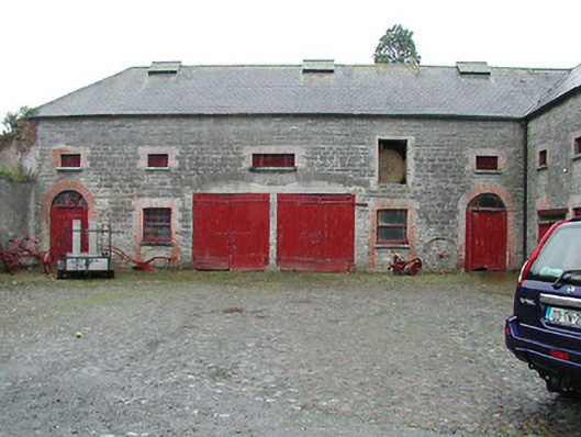 Solsborough Houseoutbuilding · 1.5 mi
 Nenagh Heritage CentreMuseum · 2.0 mi
 Old BarracksHeritage attraction · 2.2 mi
 Gibbet HillMountain / peak · 3.0 mi
 Sweet ChestnutSweet Chestnut · 3.3 mi
 The MinerMemorial · 3.4 mi
 Our Lady Assumed into HeavenMemorial · 3.4 mi