What is recorded here
In the centre of a bivallate rath (CL015-044001-) located in marshy pasture on the summit of a ridge aligned WSW-ENE with panoramic views. Hachured on the 1916 ed. OS 6-inch map. A subcircular house site (diam. c. 9.5m) defined by a stone and earth bank (Wth 1.25m; int. H 0.1m; ext. H 0.3m). The interior is slightly dished.
Compiled by: Mary Tunney and Eve Campbell
Date of upload: 10 July 2023
The monument record does not grant public access. Check the route and ask the landowner before entering private land.
- What survives
- Recorded monument
Places near here
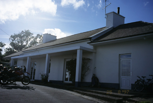 Sandfield Lodgehouse · 174 yd
 LisfurnelFairy fort / earthen ringfort · 802 yd
 Enclosure in Rannagh (killaspuglonane Ed)Enclosure · 804 yd
 O'Brien's Bridgebridge · 1443 yd
 Dough CastleRuins · 1698 yd
 Lahinch BeachBeach / strand · 1.3 mi
 John P. Holland CentreMuseum · 1.6 mi
 Liscannor Castle (in Ruins)Castle, tower house · 1.7 mi
 Kilmanahn GraveyardRuins · 2.3 mi
 Bridget's Well;St Bridget's WellSpring · 2.3 mi
 Famine MemorialMemorial · 2.5 mi
 Cliffs of Moher Visitor CentreVisitor information · 2.7 mi