What is recorded here
In the NW quadrant of a cashel (MA119-040001-).
A rectangular feature is recorded in an aerial photograph (SMR file: CUPAP AYR 87 & 88 & 89). At ground level it is evident as a rectilinear depression (6m NW−SE; c. 3m NE−SW; D 0.4m), but is difficult to examine as the cashel interior is densely planted with conifers.
It may be the remains of a house.
Compiled by: Jane O’Shaughnessy
Date of upload: 10 August 2023
The monument record does not grant public access. Check the route and ask the landowner before entering private land.
- What survives
- Recorded monument
Places near here
 IndicatedFairy fort / stone ringfort · 11 yd
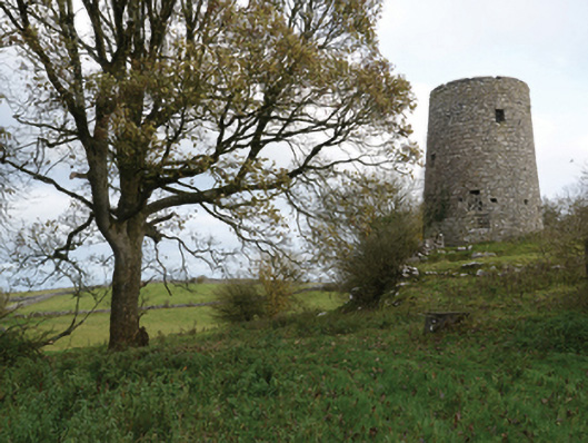 Highwood Millmill (wind) · 1021 yd
 Enclosure in Ardkill,caherwiclaun,kilquire UpperEnclosure · 1388 yd
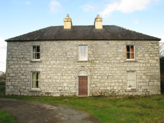 Carranvilla Housefarm house · 1448 yd
 Bawn in Kilquire LowerBawn · 1.3 mi
 Killernan CastleCastle · 1.8 mi
 European YewEuropean Yew · 2.9 mi
 SycamoreSycamore · 3.8 mi
 Mass RockNamed rock · 8.8 mi
 Ross Errilly FriaryHeritage attraction · 9.1 mi
 School of FalconryHeritage attraction · 9.6 mi
 Oileán na nAnamIslet · 9.8 mi