What is recorded here
Situated on a low ridge in grassland. Depicted as an earthwork on Larkin’s map 1808 map of County Westmeath (NLI, MS 46,580 ). Grass-covered wall footings of a rectangular house (dims. 5m N-S x 7m E-W) visible in centre of ringfort (WM009-019---).
Compiled by: Frank Coyne and Caimin O'Brien
Date of upload: 28 April 2017
The monument record does not grant public access. Check the route and ask the landowner before entering private land.
- What survives
- Recorded monument
Places near here
 OutlinedFairy fort / earthen ringfort · 830 yd
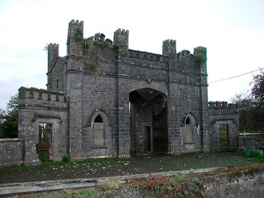 Killua Castlegate lodge · 942 yd
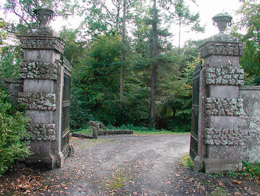 Ballinlough Castledemesne walls/gates/railings · 1170 yd
 Dervotstown CastleCastle · 1372 yd
 Persian WalnutPersian Walnut · 1507 yd
 European YewEuropean Yew · 1626 yd
 Bawn in Heathstown (delvin By.)Bawn · 1.3 mi
 Enclosure in Heathstown (delvin By.)Enclosure · 1.4 mi
 Drewstown LittleMountain / peak · 2.3 mi
 CloncatMountain / peak · 3.7 mi
 Causey FarmHeritage attraction · 4.0 mi
 FarmaphobiaHeritage attraction · 4.0 mi