What is recorded here
In low-lying marshy grassland prone to flooding, c. 100m S of a stream. A low grassed-over roughly D-shaped platform (E-W 14.5m, N-S 7.8m, H 0.5m) composed of earth and stone. Two hollows occupy the flat summit of the platform: possibly a house with traces of an internal division. An old field boundary, running WNW-ESE, comprising a line of boulders clips the monument along its S side.
The above description is derived from the published 'Archaeological Inventory of County Galway Vol. II - North Galway'. Compiled by Olive Alcock, Kathy de hÓra and Paul Gosling (Dublin: Stationery Office, 1999).
Date of upload: 05 August 2010
The monument record does not grant public access. Check the route and ask the landowner before entering private land.
- What survives
- Recorded monument
Places near here
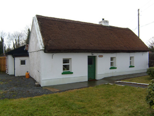 The Cottagehouse · 450 yd
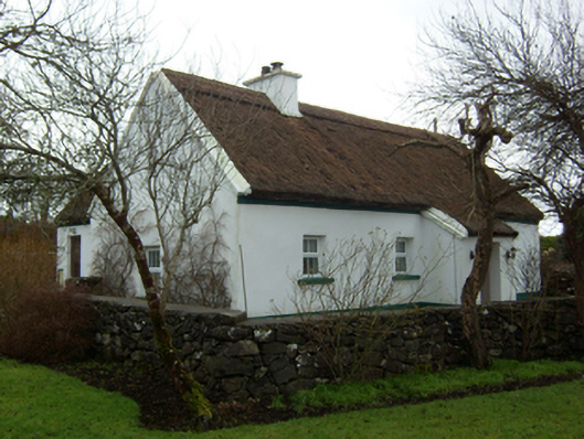 Plum Cottagehouse · 553 yd
 Walsh's IslandIslet · 1327 yd
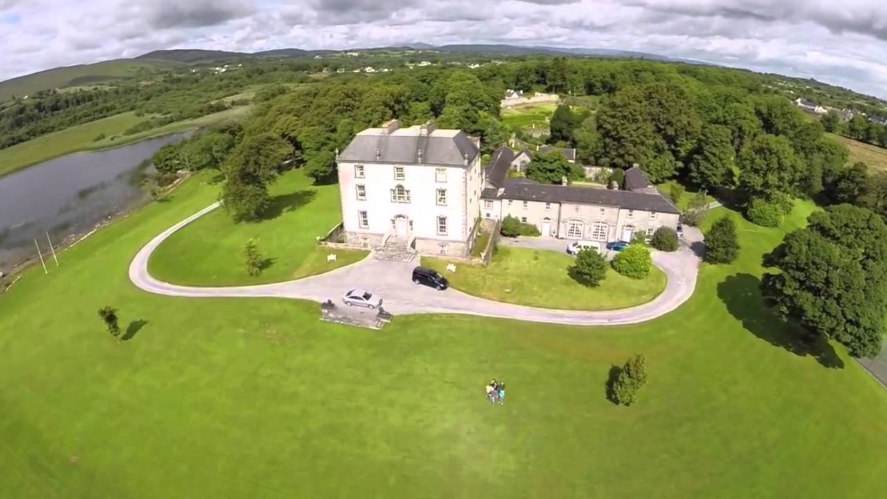 Enclosure in MountrossEnclosure · 1.1 mi
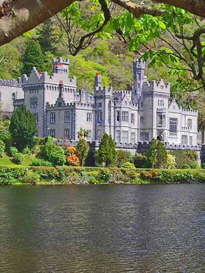 CaherananeArchaeological place · 1.5 mi
 Ballinduff BayBay · 1.7 mi
 Willyrogue IslandIslet · 1.9 mi
 Cloghanower Castle in ruinsCastle, tower house · 2.0 mi
 Cúil DiarmuidWood · 2.1 mi
 Castle in ruinsCastle, tower house · 2.2 mi
 BallynacreggaWood · 2.9 mi
 Kilcoona Round TowerHeritage attraction · 3.0 mi