What is recorded here
In a relatively small, low grass-covered sand dune (c. 30m N-S; c. 15m E–W), at the most southerly point on the SW shoreline of Inishkea North. A narrow E-W rocky gully, which partly fills with water at high tide, separates this peninsula tip from the rest of the island, and a sea channel (Wth c. 80m) separates it from the N end of Inishkea South. Bailey Mór mound (MA023-014003-) is visible in the distance to NE.
Low ruined walls define the NW, SW and SE sides of a subrectangular building (8m NW-SE; c. 2-2.5m E-W), which is eroding out of the slightly concave NW side of the dune. The walls are tumbled and partly sod-covered, but the lower 2-3 courses of the exterior wall face is visible in parts. The full length of the long SW wall is exposed; the NW (L c. 2.5m) and SW (L c. 2m) walls both disappear into the gently rising slope of the dune at their E end. The SE wall cannot be traced as it is engulfed in the dune, although a few stones barely protruding from the sod may form part of its S end.
There is a break, now partly blocked by two large displaced stones, slightly N of centre in the SW wall. It appears to be an original doorway, defined by a pair of low upright stones/jambs, 0.7m apart, set transversely to the line of the wall. An upright stone (H 0.5m), parallel to the long axis of the wall, is set against the exterior wall face immediately to S of the doorway. The remains appear to be a house. The date is uncertain.
A midden (MA023-036----) is exposed in the eroding N section face of the same dune c. 8m to E.
Attached images:
MA023-036----_01.JPG Viewed from SW
MA023-036----_02.JPG Viewed from NW
Compiled by: Jane O’Shaughnessy
Date of upload: 2 August 2023
The monument record does not grant public access. Check the route and ask the landowner before entering private land.
- What survives
- Recorded monument
Places near here
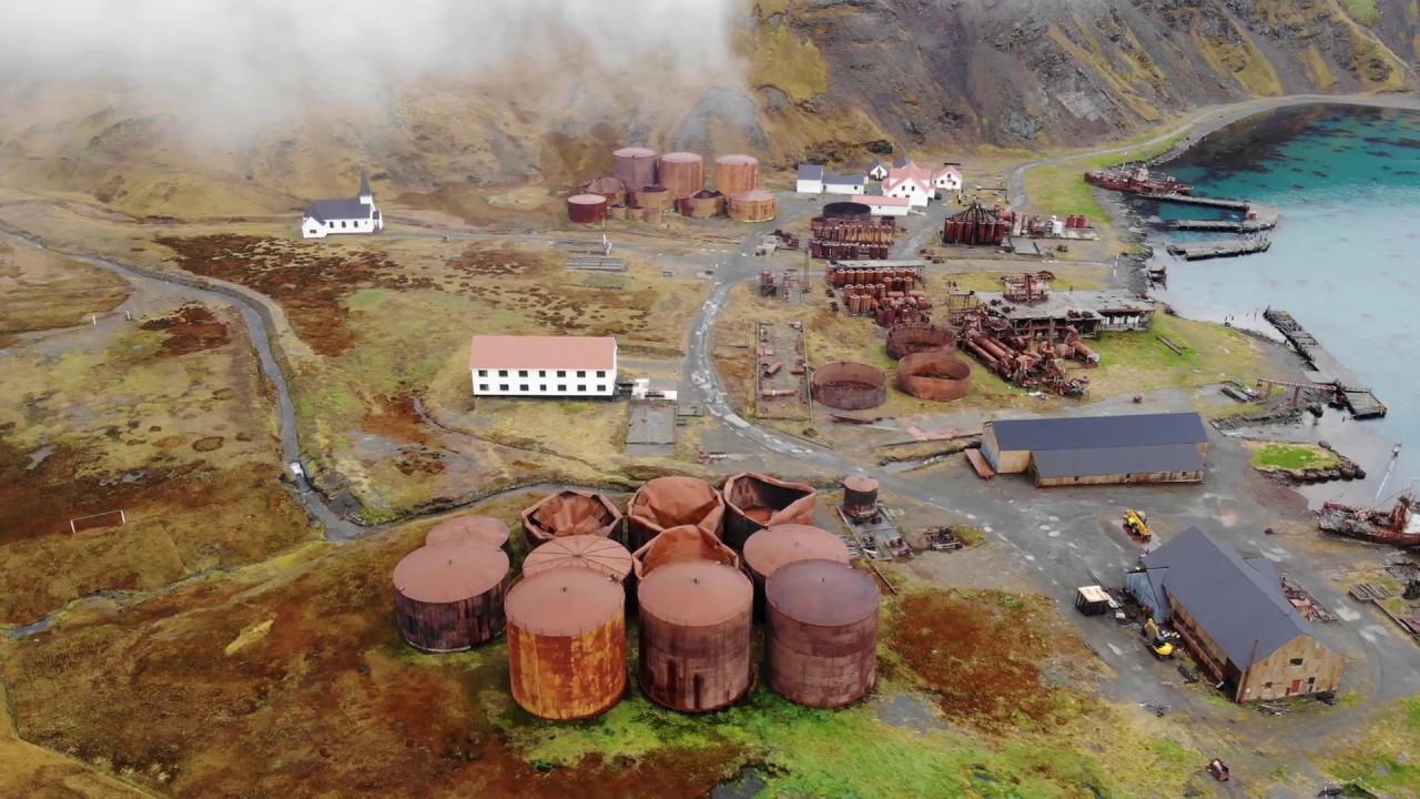 Rusheen Island Whaling StationRuins · 676 yd
 RoisínIslet · 737 yd
 Church (in Ruins)Church · 866 yd
 Enclosure in Inis Gé ThuaidhEnclosure · 1110 yd
 Inis Gé ThuaidhIsland · 1183 yd
 Cross in Inis Gé ThuaidhCross · 1317 yd
 Site of Redmond Barretts CastleCastle, unclassified · 4.0 mi
 Termon BeachBeach / strand · 4.6 mi
 Trá OilíBeach / strand · 5.3 mi
 Barranagh Castle in RuinsCastle, unclassified · 6.4 mi
 Saddle HeadHeadland · 7.7 mi
 AskilgubroenacoraghHeadland · 7.8 mi