What is recorded here
Towards the S edge of the summit of Bailey Mór mound/sandhill (MA023-014003-).
A subcircular or subrectangular setting of stones (max. dims. 3. 3-4m) with two upright stones at its N edge, possibly marking an entrance passage extending NE−SW. Immediately to S is a smaller, subcircular area (c. 2m E−W; c. 3m N−S) defined by a setting of low stones (ITM 456995 822538).
The remains are meagre and poorly defined, barely protruding from the grass-covered sandy surface of the mound. They may be the remains of houses.
National Monument in state ownership (no. 379)
Attached image:
MA023-014014-_01.JPG viewed from N
Compiled by: Jane O’Shaughnessy
Date of upload: 12 July 2023
The monument record does not grant public access. Check the route and ask the landowner before entering private land.
- What survives
- Recorded monument
Places near here
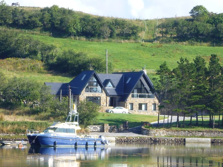 Cross in Inis Gé ThuaidhCross · 50 yd
 Enclosure in Inis Gé ThuaidhEnclosure · 154 yd
 Inis Gé ThuaidhIsland · 518 yd
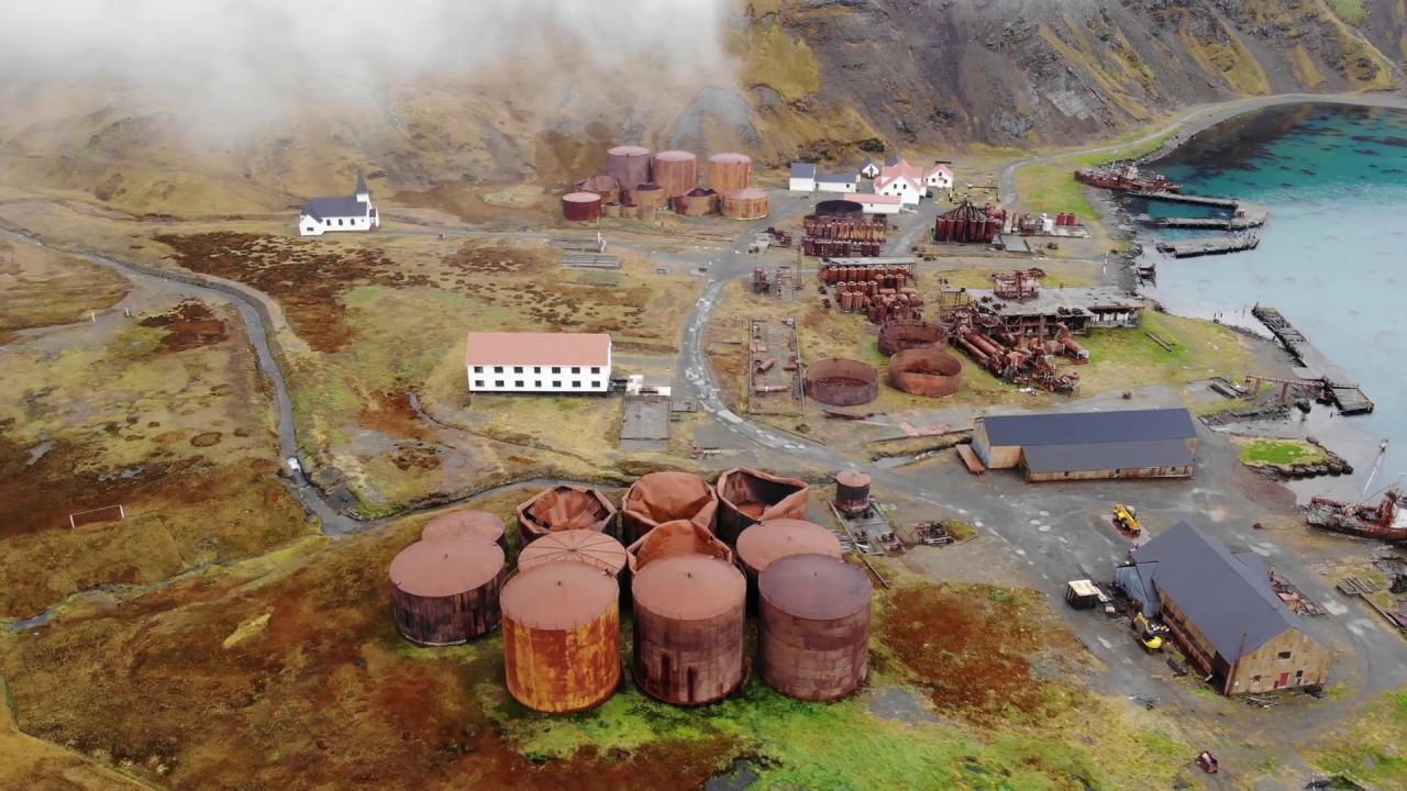 Rusheen Island Whaling StationRuins · 1.0 mi
 RoisínIslet · 1.0 mi
 Church (in Ruins)Church · 1.2 mi
 Site of Redmond Barretts CastleCastle, unclassified · 3.3 mi
 Termon BeachBeach / strand · 4.1 mi
 Trá OilíBeach / strand · 4.6 mi
 Barranagh Castle in RuinsCastle, unclassified · 5.7 mi
 Cuan an Fhóid DuibhBay · 7.9 mi
 Saddle HeadHeadland · 8.1 mi