What is recorded here
Located at the E edge of rath (ME030-005----) where the platform has been cut back. This is a rectangular grass-covered area (ext. dims 9m N-S; 3.7m plus E-W) defined by wall footings (Wth 1m) with an annexe (dims 8m N-S; 5m plus E-W) to its S. Both features are truncated on the E side.
Compiled by: Michael Moore
Date of upload: 17 April, 2019
The monument record does not grant public access. Check the route and ask the landowner before entering private land.
- What survives
- Recorded monument
Places near here
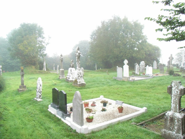 Church (in Ruins)Church · 742 yd
 EnclosureEnclosure, large enclosure · 1182 yd
 Enclosure in BoyerstownEnclosure · 1.3 mi
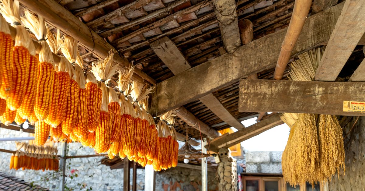 KilnKiln, corn-drying · 1.7 mi
 BohermeenMountain / peak · 1.9 mi
 The New Line RoadMemorial · 2.2 mi
 Wych ElmWych Elm · 2.6 mi
 Small-leaved ElmSmall-leaved Elm · 3.1 mi
 Assey CastleCastle, tower house · 3.6 mi
 Faughan HillMountain / peak · 3.6 mi
 Trubley CastleCastle, tower house · 3.7 mi
 Nangle CourtMemorial · 3.9 mi