What is recorded here
Some 50m to the W of a rath (GA106-082001-). A subcircular area (int. dims. 8.3m N-S; 7.3m E-W) is enclosed by a double-faced grassed-over stone wall (base Wth 3.9m; int. H 0.6m; ext. H 0.3m). A field wall cuts through the enclosing element at S.
Compiled by: Galway Archaeological Survey, UCG
Date of upload: 4 January 2018
The monument record does not grant public access. Check the route and ask the landowner before entering private land.
- What survives
- Recorded monument
Places near here
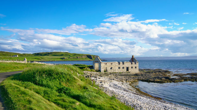 Ballyfintan FortFairy fort / earthen ringfort · 1208 yd
 Brooklawn Ho.Country house · 1436 yd
 IndicatedQuarry · 1527 yd
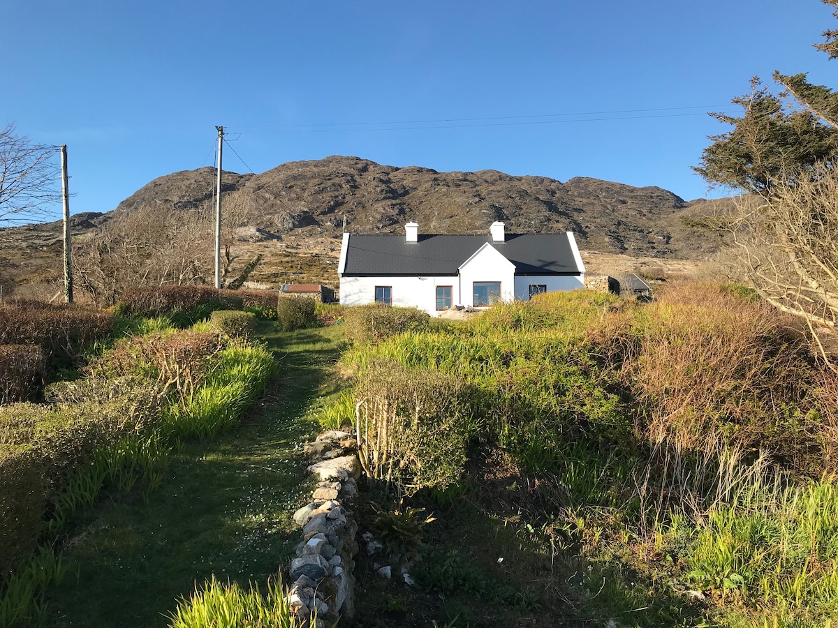 ‘Dogs Fort’Fairy fort / earthen ringfort · 1.1 mi
 CastleCastle, unclassified · 1.2 mi
 Streamstown Castle (in ruins)Castle, unclassified · 2.2 mi
 Dartfield Horse MuseumHeritage attraction · 3.4 mi
 Quarryhill WoodWood · 4.5 mi
 Bog WoodForest · 5.0 mi
 Battle of AughrimMajor battlefield · 7.8 mi
 The bloody HollowHeritage attraction · 7.9 mi
 Battle of Aughrim Interpretative CentreMuseum · 8.2 mi