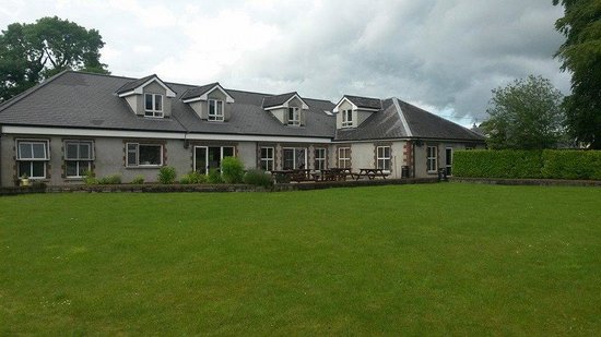
What is recorded here
In wet, marshy terrain at the foot of a N-facing slope of Galtybeg in Galty mountain range. A stream, which feds into the Clydagh river, runs N-S immediately to the W. A roughly rectangular structure (int. dims. 5.5m N-S; 1.7m E-W) defined by a grass-covered rubble stone wall (T 2m; H 0.5m). There is some collapse in the interior from the W wall. There is a possible entrance (Wth 2.3m) at the S end of the E wall. A revetted stone wall runs upslope from the SW angle of the house. The house may have been used for booleying.
Compiled by: Jean Farrelly
Date of upload: 26 August 2011
The monument record does not grant public access. Check the route and ask the landowner before entering private land.
- What survives
- Recorded monument
Places near here
 GaltymoreMountain / peak · 1468 yd
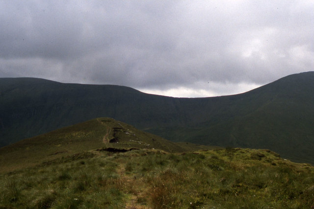 CushMountain / peak · 1700 yd
 CairnCairn, boundary cairn · 1.0 mi
 Lough CurraWalking route · 1.2 mi
 Hut site in DrumleaghHut site · 1.2 mi
 Noel's NippleNamed rock · 1.3 mi
 Aircraft Memorial 1976Memorial · 1.6 mi
 Glengarra WoodWood · 1.8 mi
 O'Loughman's CastleRuins · 1.9 mi
 Giant's Rock - Rock of AglaishNamed rock · 2.0 mi
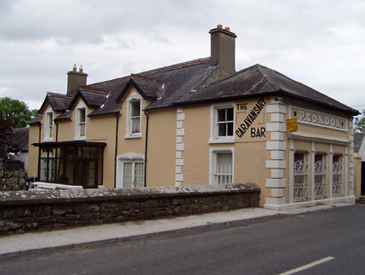 P. Condonhouse · 2.6 mi
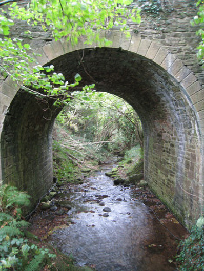 Longford Bridgebridge · 2.9 mi
Other information
Photo: Credit not shown in the picture search · Rights wording not checked; contact us if this picture should be removed