
What is recorded here
Inside the perimeter of rath (MO028-026001-) at S is a rectangular house-site (ext. dims 7m NW-SE; 6.9m NE-SW) defined by low earthen banks (Wth 1.5m; 0.45m) and there are entrances (Wth 0.7m) at NE and SW.
Date of revised upload: 6 December 2017
The monument record does not grant public access. Check the route and ask the landowner before entering private land.
- What survives
- Recorded monument
Places near here
 Saint Peter's Church (Aghnamullen)church/chapel · 1103 yd
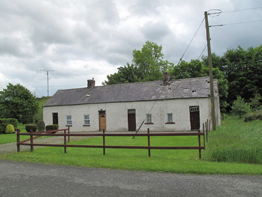 worker's houseworker's house · 1177 yd
 Man-made underground passage in Bocks UpperMan-made underground passage · 1.3 mi
 LabbyfirmoreCist · 1.4 mi
 Gully IslandIslet · 1.6 mi
 Rock IslandIslet · 1.9 mi
 TobernagalliaghSpring · 2.0 mi
 Fincarn HillMountain / peak · 2.0 mi
 Tally WoodWood · 2.9 mi
 Mannan Castle (in ruins)Castle, Anglo-Norman masonry castle · 3.4 mi
 KnockreaghMountain / peak · 3.6 mi
 Horse-chestnutHorse-chestnut · 4.5 mi
Other information
Photo: Credit not shown in the picture search · Rights wording not checked; contact us if this picture should be removed