What is recorded here
On a N slope of Lough Curra, on a forestry line. A stream which feds into the Clydagh river flows in a deep gully c. 5m to the E. A rectangular structure with rounded-angles (int. dims. 6.1m N-S; 3.3m E-W), built of dry-stone walling (Wth 0.65-0.7m; int. H 0.5m; ext. H 0.8m) of red sandstone which is overgrown with grass and moss. The W wall, NW angle and N wall are the best preserved with an entrance (Wth 3.1m) in the centre of the E wall. The S gable has collapsed and there is a sheep gap mid-way along the S wall. A trackway (Wth 1.7m) runs NW-SE to the edge of the gully, past the SW angle of the house. The house may have been used for booleying, it is similar in plan and location to a booley hut on the Limerick side of the Galtees (Danaher 1945, JRSAI, vol. 75).
Compiled by: Jean Farrelly
Date of upload: 26 August 2011
The monument record does not grant public access. Check the route and ask the landowner before entering private land.
- What survives
- Recorded monument
Places near here
 Lough CurraWalking route · 678 yd
 Hut site in DrumleaghHut site · 751 yd
 Noel's NippleNamed rock · 843 yd
 Lough Curra MoundMountain / peak · 1565 yd
 GaltymoreMountain / peak · 1.1 mi
 CairnCairn, boundary cairn · 1.1 mi
 Giant's Rock - Rock of AglaishNamed rock · 1.1 mi
 Glengarra WoodWood · 1.8 mi
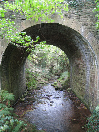 Longford Bridgebridge · 2.1 mi
 Site of Dungrot CastleCastle, unclassified · 2.2 mi
 Dungrot Bridgebridge · 2.2 mi
 Aircraft Memorial 1976Memorial · 2.3 mi