What is recorded here
Situated in rough pasture, on a SSW-facing slope of a high ridge, on an isthmus between Lough Drin and Brittas Lough. In the interior of a levelled ringfort (WM019-014----) are the remains of a long rectangular-shaped house site (dims. L 8.5m; Wth 3.2m) defined by an earthen bank (Wth 2.2m; H 0.5m) which has since been levelled. House site not visible today on Digital Globe aerial photography.
Compiled by: Alison McQueen, Vera Rahilly and Caimin O’Brien
Date of upload: 18 February 2019
The monument record does not grant public access. Check the route and ask the landowner before entering private land.
- What survives
- Recorded monument
Places near here
 IndicatedFairy fort / earthen ringfort · 1329 yd
 Crannog in Culleen BegCrannog · 1526 yd
 Knockdrin Castlegate lodge · 1706 yd
 Site of CastleCastle, unclassified · 1.2 mi
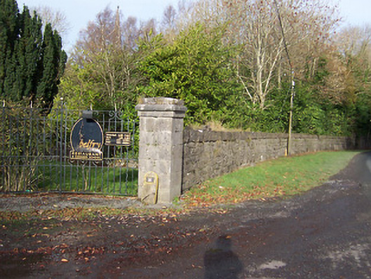 Ballynagalldemesne walls/gates/railings · 1.2 mi
 Long PlantingForest · 1.2 mi
 Saint Brigid's WellSpring · 2.2 mi
 United Nations War MemorialMemorial · 2.5 mi
 Scragh Bog Nature ReserveNature reserve · 2.7 mi
 Church IslandIsland · 2.9 mi
 CastlemitchelCastle, unclassified · 3.0 mi
 Srudarra IslandIslet · 3.5 mi