What is recorded here
Situated on a level landscape c. 150m from the present S shore of the Callow Lake of Upper Lough Gara, although at one time it was at the shore (OS 1837 6-inch map). The grass-covered foundations (Wth 0.5m) of a house structure (int. dims 2.5m x 2.5m) are at the centre of bawn (RO009-030001-).
Compiled by: Michael Moore
Date of upload: 24 August 2010
The monument record does not grant public access. Check the route and ask the landowner before entering private land.
- What survives
- Recorded monument
Places near here
 CastleBawn · 8 yd
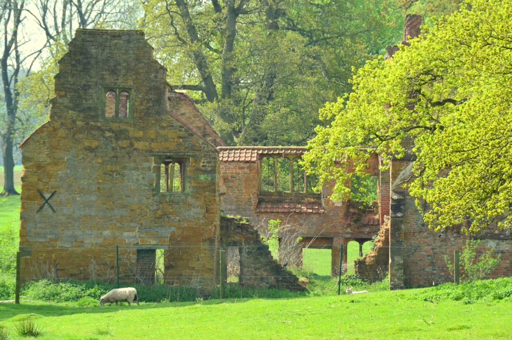 Enclosure in DowerEnclosure · 235 yd
 Bawn IslandIslet · 266 yd
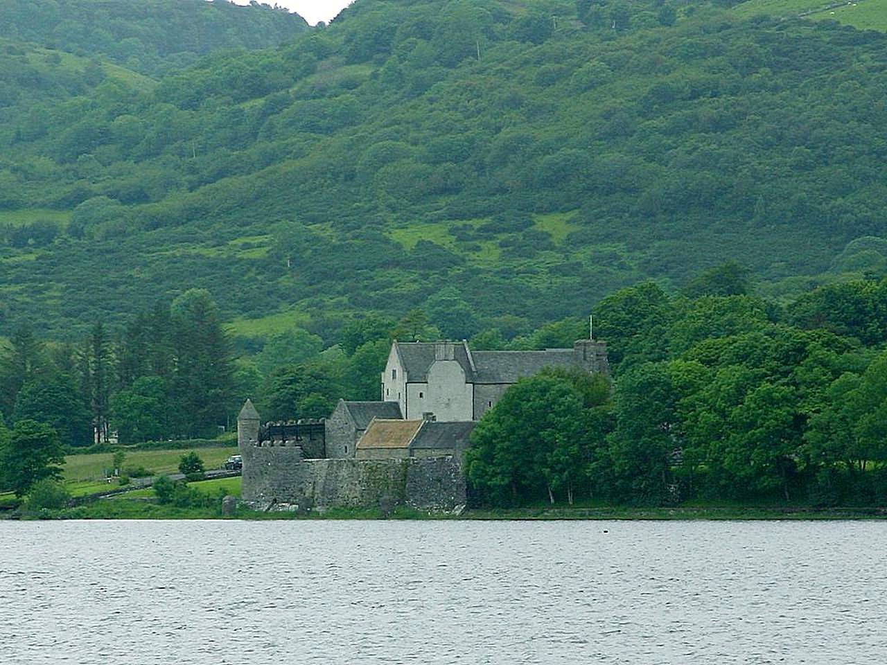 IndicatedCrannog · 1056 yd
 Corn Kiln (1838).Kiln, corn-drying · 1173 yd
 AltarPenitential station · 1232 yd
 Rose PointHeadland · 1.8 mi
 Square WoodForest · 2.1 mi
 Gray's WoodForest · 2.3 mi
 Castle (in Ruins)Castle, unclassified · 2.5 mi
 Castle PointHeadland · 2.5 mi
 Inch IslandIslet · 2.7 mi