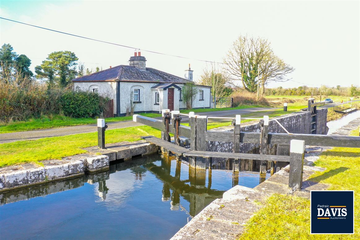
What is recorded here
Within the NW quadrant of a rath (LF002-030001-). A slightly raised subrectangular area (c. 5m NE-SW; 4.2m NW-SE) is defined by very low scarp (max. H 0.2m) on its SW side. The NE side and the N end of the NW and SE sides have been levelled but their outline can be traced, albeit with difficulty.
Compiled by: Patrick F. O'Donovan
Date of upload: 10 January 2012
The monument record does not grant public access. Check the route and ask the landowner before entering private land.
- What survives
- Recorded monument
Places near here
 Fulacht fia in DerryloughFulacht fia · 917 yd
 StructureStructure, peatland · 1343 yd
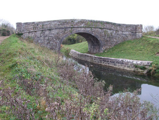 Cloonbreany Bridgebridge · 1.1 mi
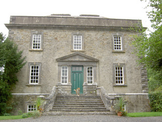 Ledwithstown Househouse · 1.1 mi
 Corlea Trackway Interpretative CentreHeritage attraction · 1.2 mi
 Corlea Bog Walk Canal BranchWalking route · 1.2 mi
 Corlea Bog Walk Blue LoopWalking route · 1.3 mi
 CastleCastle, unclassified · 2.2 mi
 Bawn in BallyknockBawn · 3.1 mi
 Leveret IslandIslet · 4.1 mi
 Culnagore WoodForest · 4.5 mi
 Bush IslandIslet · 4.6 mi
Other information
Photo: Credit not shown in the picture search · Rights wording not checked; contact us if this picture should be removed