What is recorded here
On a gentle SE-facing slope. A subrectangular area (ext. dims. 8.3m NE-SW; 5.7m NW-SE) defined by the basal portions of a bank of earth and stone (Wth 1.2m; H 0.1-0.35m). A break (Wth 1.8m) in the bank at the E end of the NE side marks the original entrance. Standing stones (LF010-111--- and LF010-019----) are located c. 80m to the NW and c. 110m to the SE respectively. (O'Donovan 2003, 22)
Compiled by: Patrick F. O'Donovan
Date of upload: 19 December 2012
The monument record does not grant public access. Check the route and ask the landowner before entering private land.
- What survives
- Recorded monument
Places near here
 Megalithic structure in DalystownMegalithic structure · 213 yd
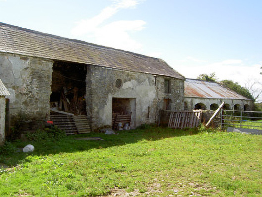 Dalystown Houseoutbuilding · 362 yd
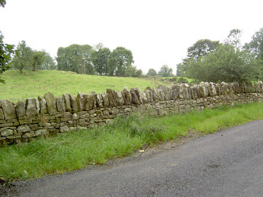 gates/railings/wallsgates/railings/walls · 486 yd
 Enclosure in DalystownEnclosure · 529 yd
 Bakers FortCastle, ringwork · 1.8 mi
 1798 Monumentmonument · 1.8 mi
 Granard MotteMotte-and-bailey castle remains · 1.9 mi
 CastleCastle, unclassified · 1.9 mi
 CartronfreeMountain / peak · 1.9 mi
 Derrycassan WoodsWood · 2.3 mi
 ToomeMountain / peak · 2.8 mi
 InchmoreIslet · 2.9 mi
Other information
Photo: Credit not shown in the picture search · Rights wording not checked; contact us if this picture should be removed