What is recorded here
Situated on top of a gentle but prominent natural rise with good views, surrounded by gently undulating grassland, and overlooked by slightly higher ground to the SSW. The stream which marks the townland boundary with Crowinstown IS 80m to N. A large rectangular depression (approx. dims. 7.4m N-S; 16m E-W; D 0.5m), is visible in the interior of a ringfort (WM009-040---) and probably represents the remains of a house site. The ringfort has now been levelled and is visible only as a faint crop mark on Digital Globe aerial photograph taken November 2011. The house site is not visible on the Digital Globe aerial photograph.
Compiled by: Frank Coyne and Caimin O'Brien
Date of upload: 17 May 2017
The monument record does not grant public access. Check the route and ask the landowner before entering private land.
- What survives
- Recorded monument
Places near here
 Bawn in Heathstown (delvin By.)Bawn · 1 yd
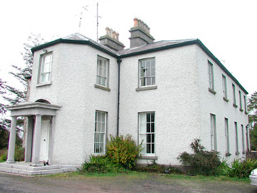 Heathstown Housecountry house · 158 yd
 Enclosure in Heathstown (delvin By.)Enclosure · 465 yd
 Dervotstown CastleCastle · 1150 yd
 Enclosure in GreenanstownEnclosure · 1.1 mi
 Persian WalnutPersian Walnut · 1.3 mi
 European YewEuropean Yew · 1.4 mi
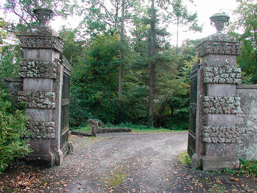 Ballinlough Castledemesne walls/gates/railings · 1.5 mi
 Drewstown LittleMountain / peak · 2.5 mi
 FraineMountain / peak · 3.0 mi
 Causey FarmHeritage attraction · 3.9 mi
 FarmaphobiaHeritage attraction · 3.9 mi