What is recorded here
Caherbaun/An Chathair Bhán: Situated on the lower NW slopes of Cummeen mountain overlooking the valley of the Owencashla river.
(4) A 4th house-site or annex at the E end of house (3). It measures c. 3.4m E-W x c. 3m N-S internally and is largely collapsed. There appears to be an entrance, .75m wide, at the W end of the S wall.
The above description is derived from J. Cuppage, ‘Corca Dhuibhne. Dingle Peninsula archaeological survey. Ballyferriter. Oidhreacht Chorca Dhuibhne’ (1986), no. 577. In certain instances the entries have been revised and updated in the light of recent research.
Date of upload: 7 August 2013
The monument record does not grant public access. Check the route and ask the landowner before entering private land.
- What survives
- Recorded monument
Places near here
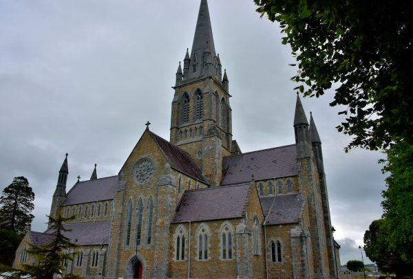 Church in Coill Bhaile Uí FhlaithimhChurch · 204 yd
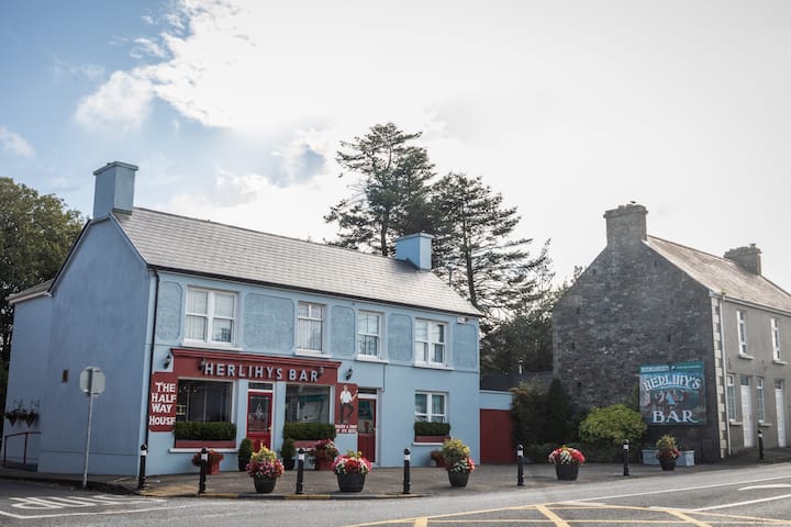 Fulacht fia in Coill Bhaile Uí FhlaithimhFulacht fia · 226 yd
 Church in Arraglen (corkaguiny By., Castlegregory Ed),killiney,tullig (corkaguiny By., Castlegregory Ed)Church · 1241 yd
 Hut site in Duagh (corkaguiny By.)Hut site · 1255 yd
 CarrigadavMountain / peak · 1.1 mi
 CummeenMountain / peak · 1.2 mi
 Glanteenassig Forest ParkForest · 2.5 mi
 Site of CastleCastle, unclassified · 2.8 mi
 IndicatedCastle, tower house · 2.9 mi
 Graveyard in Baile An Chnocáin (tc An Cnoc Glas)Graveyard · 3.1 mi
 Faisr's GraveArchaeological place · 3.5 mi
 Sandy Bay BeachBeach / strand · 4.4 mi