What is recorded here
Situated on a low NW-SE ridge. Inside the perimeter of the SE side of the rectangular enclosure or bawn (ME003-015001-) are the grass-covered foundations of a house (int. dims 9.4m NE-SW; 3m NW-SE).
The above description is derived from the published 'Archaeological Inventory of County Meath' (Dublin: Stationery Office, 1987). In certain instances the entries have been revised and updated in the light of recent research.
Date of upload: 10 July 2007
The monument record does not grant public access. Check the route and ask the landowner before entering private land.
- What survives
- Recorded monument
Places near here
 Cloghreagh Castle in RuinsCastle, unclassified · 22 yd
 Coogan FortFairy fort / earthen ringfort · 1567 yd
 Stone CrossCross · 1.2 mi
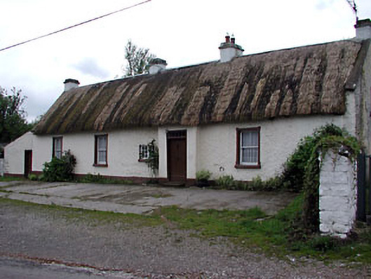 farm housefarm house · 1.7 mi
 Chruch in RuinsChurch · 1.8 mi
 Tree IslandWood · 2.0 mi
 Newstone Castle in RuinsCastle, tower house · 2.0 mi
 Drumran HillMountain / peak · 2.5 mi
 BarleyhillMountain / peak · 2.9 mi
 GNR Christmas TreesForest · 3.6 mi
 Nobber GreenwayMemorial · 3.7 mi
 Natural Play AreaMemorial · 4.2 mi