What is recorded here
Lisnamuck/Lios na Muc (ringfort of the pigs). Univallate ringfort KE008-009---- consists of a circular area enclosed by a well-defined bank and exterior fosse. The enclosing bank is c 6m wide, 1.2m-2.4m high externally and on average .8m high above the interior.
The interior, which is at a higher level than the surrounding land, contains the remains of a rectangular house-site (KE008-009002), 14m x 6.6m internally, which is constructed of stone; the walls are 2m in thickness.
The above description is derived from C. Toal, ‘North Kerry Archaeological Survey’. Dingle. Brandon in association with FAS Training and Employment Authority (1995), no. 331. In certain instances the entries have been revised and updated in the light of recent research.
Date of upload: 2 August 2013
The monument record does not grant public access. Check the route and ask the landowner before entering private land.
- What survives
- Recorded monument
Places near here
 LisnamuckArchaeological place · 10 yd
 Site of Ballingarry CastleCastle, unclassified · 914 yd
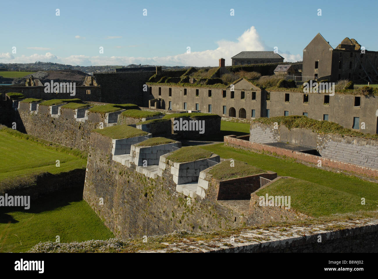 Fortification in CloghaneleeshFortification · 963 yd
 Bridge in CloghaneleeshBridge · 1028 yd
 Castle Shannon (in ruins)Castle, unclassified · 1.3 mi
 St. Dahalins Church (in ruins)Church · 1.5 mi
 Inshaboy PointHeadland · 1.8 mi
 Maulin MountainMountain / peak · 2.3 mi
 Our Lady's Holy WellSpring · 2.4 mi
 Triskbeg MountainMountain / peak · 3.2 mi
 Pierce's IslandIslet · 3.6 mi
 Clashmealcon CavesCave · 5.5 mi
Other information
Photo: Credit not shown in the picture search · Rights wording not checked; contact us if this picture should be removed