What is recorded here
Located 30m north of a small stream on land that slopes down to the south, the site affords good views of the Sliabh Mis to the south and south-west, as well as to the east and west. The view to the north is blocked by the rising ground towards Monument Wood. The site consists of a D-shaped enclosure (KE038-017----), the enclosing bank, now mainly grass covered with exposed areas, is constructed entirely of limestone rubble with intermittent slabs within the wall. There is no evidence for a ditch either internally or externally and a slight internal depression around the line of the enclosing element is in fact due to the raised nature of the interior, where there is much stone collapse. The most coherent area of collapse/rubble within the interior measures 12m N-S by 11m E-W and is 0.5m high. This may represent the ruins of a stone hut as there appears to be a wall width of 2m and a possible entrance 1.2m wide to the north.
Above description is from 'Tralee Area Monument Catalogue' part of a PhD thesis submitted by Michael Connolly to UCC.
Matt Kelleher 22 June 2012
The monument record does not grant public access. Check the route and ask the landowner before entering private land.
- What survives
- Recorded monument
Places near here
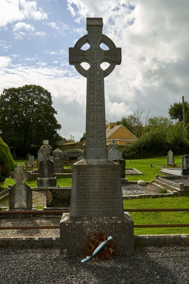 Enclosure in BallyseedyEnclosure · 394 yd
 Monument WoodWood · 636 yd
 Embanked enclosure in BallyseedyEmbanked enclosure · 767 yd
 Ballyseedy WoodWood · 831 yd
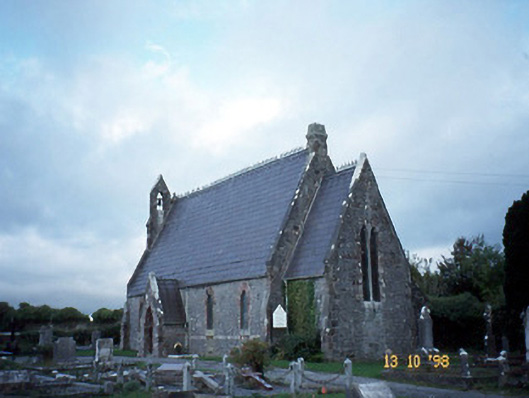 Ballyseedy Churchchurch/chapel · 850 yd
 Ballyseedy Church (in ruins)Church · 874 yd
 Ballyseede Castle HotelCastle · 1158 yd
 IndicatedCastle, unclassified · 1648 yd
 Civil War MemorialMemorial · 2.0 mi
 PoulatouirtCave · 2.3 mi
 Poulclashcannon (blocked)Cave · 2.5 mi
 Kerry County MuseumMuseum · 2.5 mi
Other information
Photo: Credit not shown in the picture search · Rights wording not checked; contact us if this picture should be removed