What is recorded here
This ruin is of an unusually long and narrow building, built on the top of a rock face immediately next to a tributary of the Clashduff River and to the west of the public road close to the summit of the Healy Pass. It measures c15m E-W and c2.5m N-S with walls surviving to a maximum height of c1.5m. In the middle of the S wall is a door opening. It is not marked on the 1st Edition map but is shown as roofless by the 2nd Ed. As this is the time frame for the building of the Healy Pass there is a possibility it could have provided accommodation for those working on the road. Or it might have provided shelter for travellers crossing the mountains before any road was constructed.
Compiled by: Tony Miller
Date of upload: 30 August 2018
The monument record does not grant public access. Check the route and ask the landowner before entering private land.
- What survives
- Recorded monument
Places near here
 Hut site in Clashduff (bear By.)Hut site · 100 yd
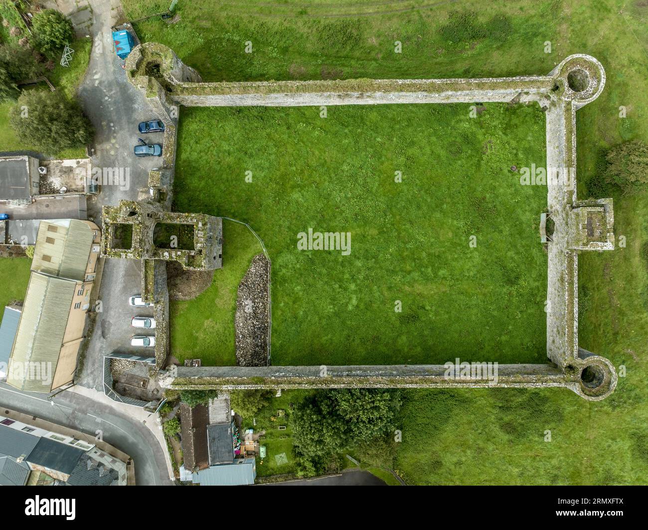 Enclosure in Clashduff (bear By.)Enclosure · 1377 yd
 CoombaneMountain / peak · 1.0 mi
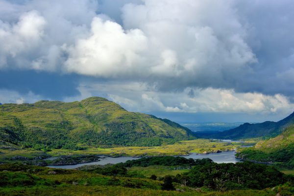 StokeennalackarehaMountain / peak · 1.2 mi
 Clogherane Br.Bridge · 1.4 mi
 IllaunateeIslet · 1.7 mi
 Duck RockIslet · 1.7 mi
 Elistragh Br.Bridge · 1.8 mi
 Mare's Tail WaterfallViewpoint · 2.1 mi
 West Cork Sailing & Powerboating CentreHeritage attraction · 2.9 mi
 Hungry Hill GalleryGallery · 2.9 mi
 Graveyard in DrumlaveGraveyard · 3.1 mi
Other information
Photo: Credit not shown in the picture search · Rights wording not checked; contact us if this picture should be removed