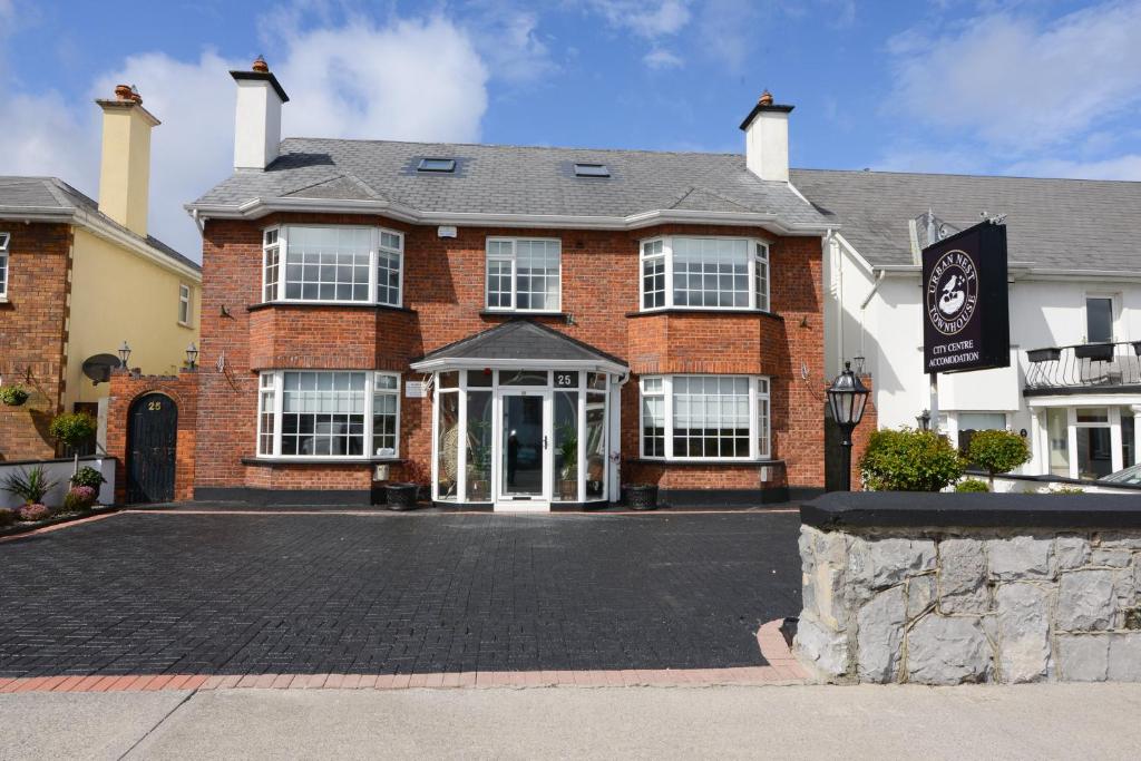
What is recorded here
In marshy land. According to McCaffrey (1952, 256, No. 20a), the remains of old field walls were visible to the N of the cashel (GA105-060001-) and immediately to its E were the remains of four similar sized stone house sites, measuring 7.6m x 6m overall and defined by walls 0.79m wide and 0.6m high. No visible surface trace survives.
Compiled by: Galway Archaeological Survey, UCG
Date of upload: 19 February 2019
The monument record does not grant public access. Check the route and ask the landowner before entering private land.
- What survives
- Recorded monument
Places near here
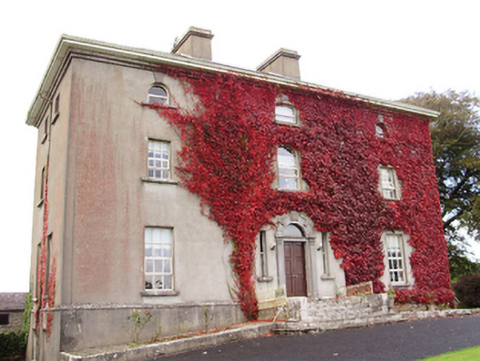 Woodville Housecountry house · 875 yd
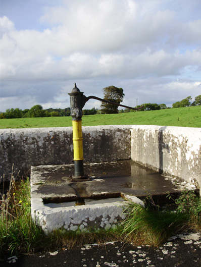 water pumpwater pump · 1194 yd
 IndicatedFairy fort / stone ringfort · 1375 yd
 CaveMan-made underground passage · 1386 yd
 Cloghastookeen Castle (in ruins)Castle, unclassified · 1.2 mi
 CastleCastle, tower house · 1.3 mi
 Blake's IslandIslet · 3.1 mi
 Ash IslandIslet · 3.4 mi
 Long PointHeadland · 4.2 mi
 Scalpeen RockNamed rock · 5.1 mi
 Moyard WoodWood · 5.2 mi
 Turoe StoneHeritage attraction · 5.9 mi
Other information
Photo: Credit not shown in the picture search · Rights wording not checked; contact us if this picture should be removed