What is recorded here
Listed in SMR (1992) as an unlocated dwelling which is marked on Down Survey map.
Compiled by: Jean Farrelly and Caimin O'Brien
Date of upload/revision: 22 September 2008
The monument record does not grant public access. Check the route and ask the landowner before entering private land.
- What survives
- Recorded monument
Places near here
 Enclosure in BallycormuckEnclosure · 624 yd
 Ballyhaugh Castle (in ruins)Castle, tower house · 948 yd
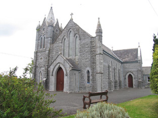 Catholic Church of Saint Michael the Archangelchurch/chapel · 952 yd
 Enclosure in Feigh East,lisheen (aglishcloghane Par.)Enclosure · 1128 yd
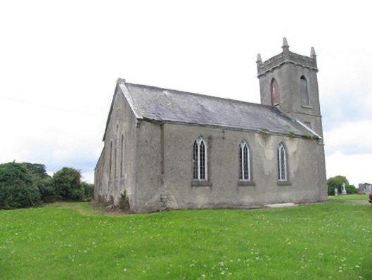 Aglish Church (Aghlishcloghane)church/chapel · 1485 yd
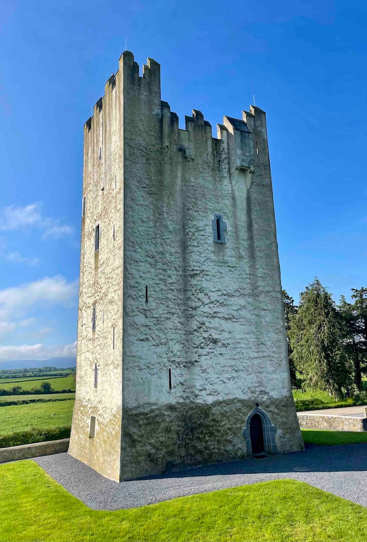 Kilfadda Castle (in ruins)Castle, Anglo-Norman masonry castle · 1.8 mi
 Borris WoodWood · 3.6 mi
 Lumcloon WoodWood · 3.9 mi
 Slevoir BayBay · 4.6 mi
 Hayes IslandIsland · 5.6 mi
 Sallow IslandIsland · 5.9 mi
 MacDonagh HouseMemorial · 7.4 mi