What is recorded here
According to the Down Survey parish map terrier (1655-8) in 'Youghill Parrish' tgere is in 'Barhahagh a Thatcht House'.
This house is unlocated within the townland.
Compiled by: Jean Farrelly and Caimin O'Brien
Date of upload/revision: 22 September 2008
The monument record does not grant public access. Check the route and ask the landowner before entering private land.
- What survives
- Recorded monument
Places near here
 Carrigeen Stone RowArchaeological place · 657 yd
 Enclosure in MountsackEnclosure · 1023 yd
 Coum HillMountain / peak · 1.3 mi
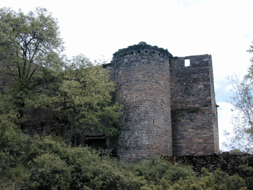 (Site of) Pallas CastleCastle, Anglo-Norman masonry castle · 1.6 mi
 Giant's GraveArchaeological place · 1.6 mi
 Corbally HillMountain / peak · 1.6 mi
 Church (in ruins)Church · 1.8 mi
 Old Br.Bridge · 1.8 mi
 CastleCastle, motte · 1.8 mi
 Saint Patrick's RockNamed rock · 3.2 mi
 Millenium CrossHeritage attraction · 3.4 mi
 Blessed WellNature reserve · 3.6 mi