
What is recorded here
Situated on a slight rise, in gently undulating pasture, with very wide views to S, E and W. Within the centre of ringfort (WM025-003----) are vague traces of a rectangular-shaped house site (dims. 7.3m NW-SE; 6m NE-SW) defined by a very slight bank (H 0.3m; approx. Wth 2.3m). There are slight depressions at the upper edge of the bank which are probably due to disturbance.
Compiled by Alison McQueen, Vera Rahilly and Caimin O’Brien.
Date of upload: 03 September 2019
The monument record does not grant public access. Check the route and ask the landowner before entering private land.
- What survives
- Recorded monument
Places near here
 Settlement desertedSettlement deserted, medieval · 346 yd
 Balrath Lodgehouse · 404 yd
 IndicatedFairy fort / earthen ringfort · 1228 yd
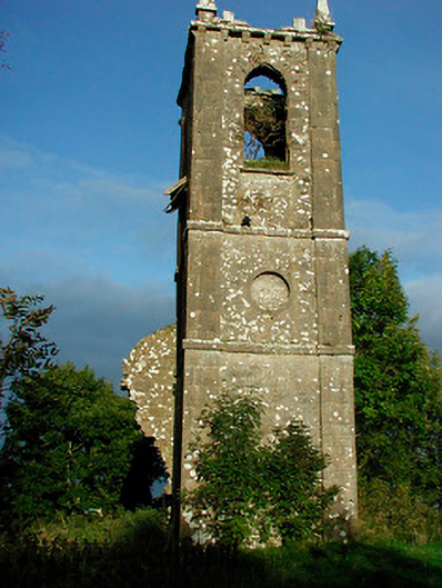 Churchtown Churchchurch/chapel · 1569 yd
 Ancient Ring FortWood · 1729 yd
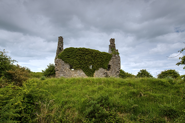 Dundonnell CastleCastle, unclassified · 1.1 mi
 Site of CastleCastle, unclassified · 1.2 mi
 Hill of UisneachMountain / peak · 2.6 mi
 European ashEuropean ash · 3.5 mi
 Carrickphilbin IslandIslet · 5.9 mi
 Srudarra IslandIslet · 6.2 mi
 Abbeyshrule AbbeyRuins · 8.1 mi
Other information
Photo: Credit not shown in the picture search · Rights wording not checked; contact us if this picture should be removed