What is recorded here
A possible house site which was visible in 1984 inside the perimeter of rath (RO025-017001-) at E (SMR file) can no longer be seen.
Compiled by: Michael Moore
Date of upload: 24 August 2010
The monument record does not grant public access. Check the route and ask the landowner before entering private land.
- What survives
- Recorded monument
Places near here
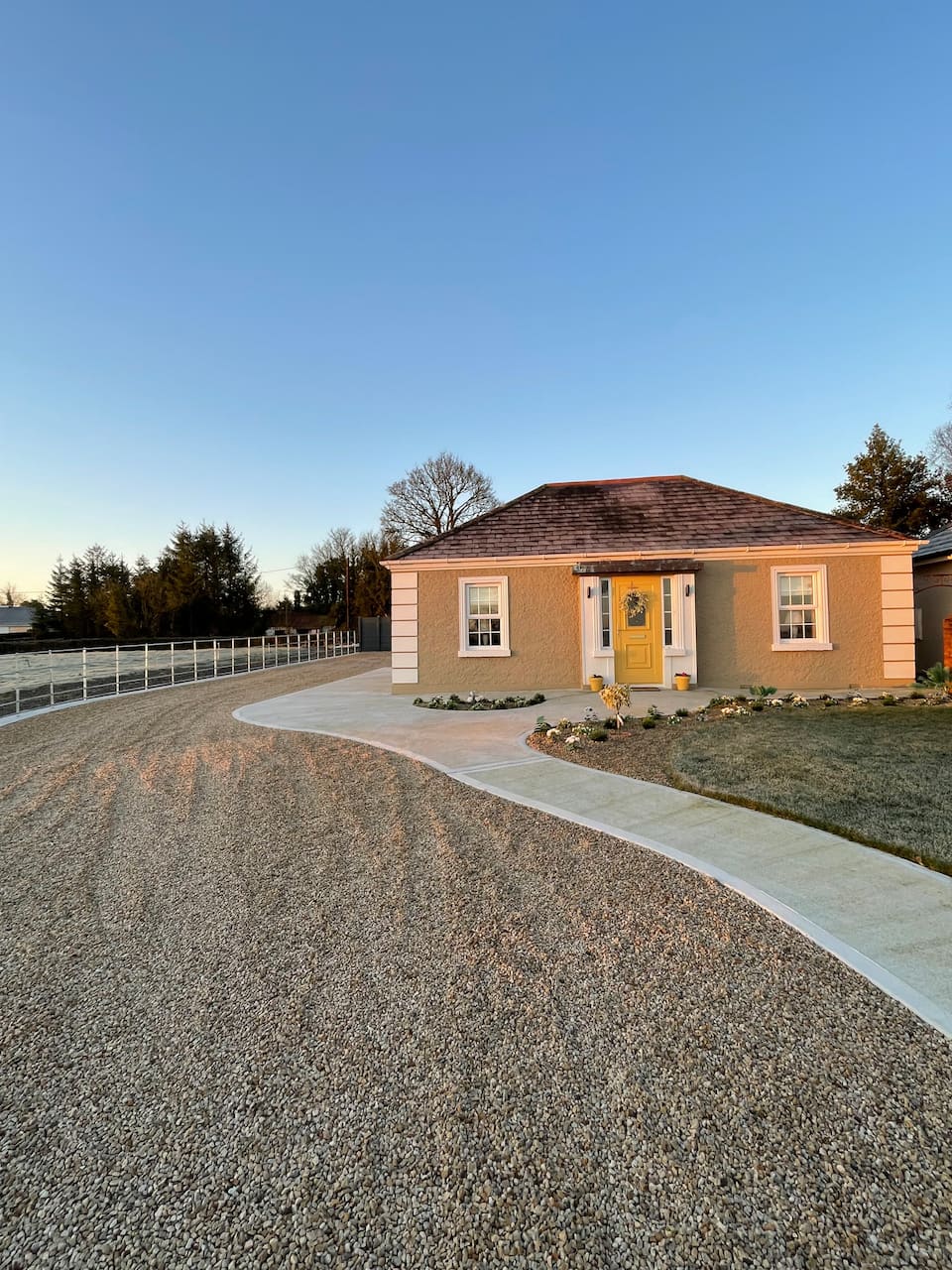 Embanked enclosureFairy fort / earthen ringfort · 13 yd
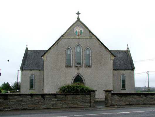 Catholic Church of the Immaculate Conceptionchurch/chapel · 290 yd
 Lavan'shouse · 677 yd
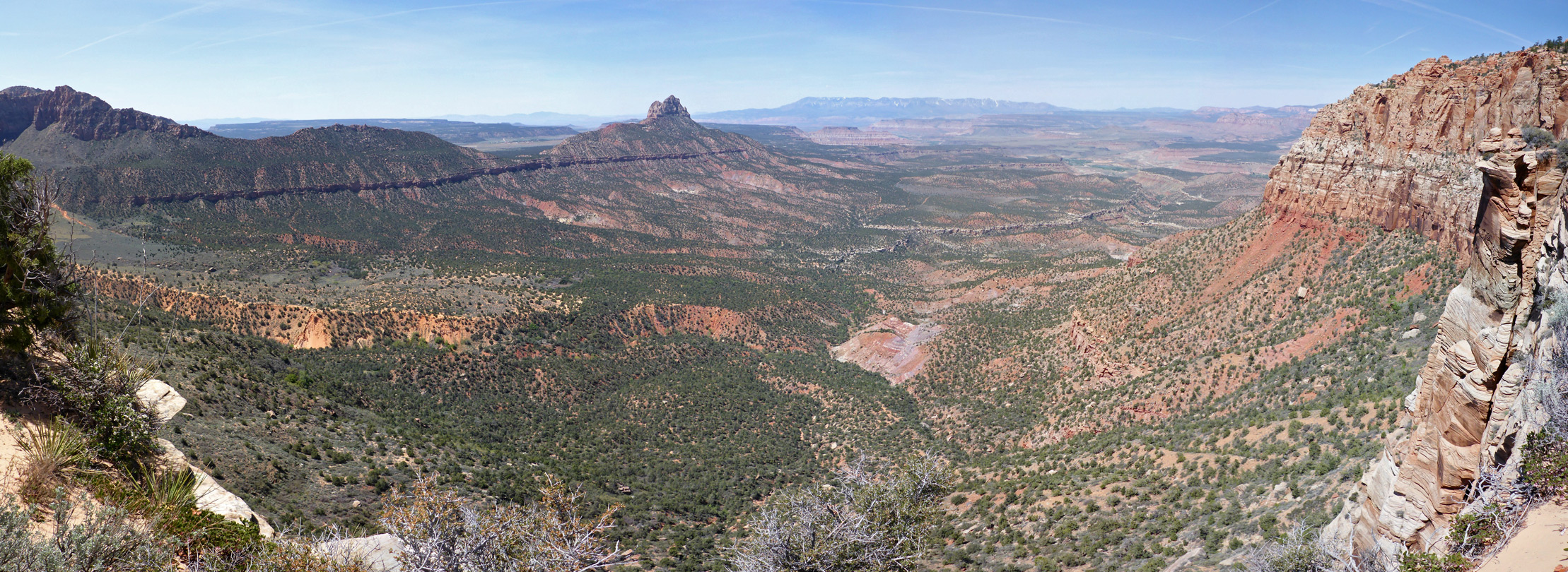 Enclosure in Mountain LowerEnclosure · 1.2 mi
 CastleCastle, unclassified · 2.8 mi
 Coolougher WoodForest · 3.0 mi
 Clonalis HouseMuseum · 5.3 mi
 Slieve DartMountain / peak · 5.9 mi
 Castle (in ruins)Castle, unclassified · 6.1 mi
 Site of Killomaine Grave YardArchaeological place · 9.4 mi
 East Mayo Brigade MonumentMemorial · 13 mi
 Crow IslandIslet · 17 mi