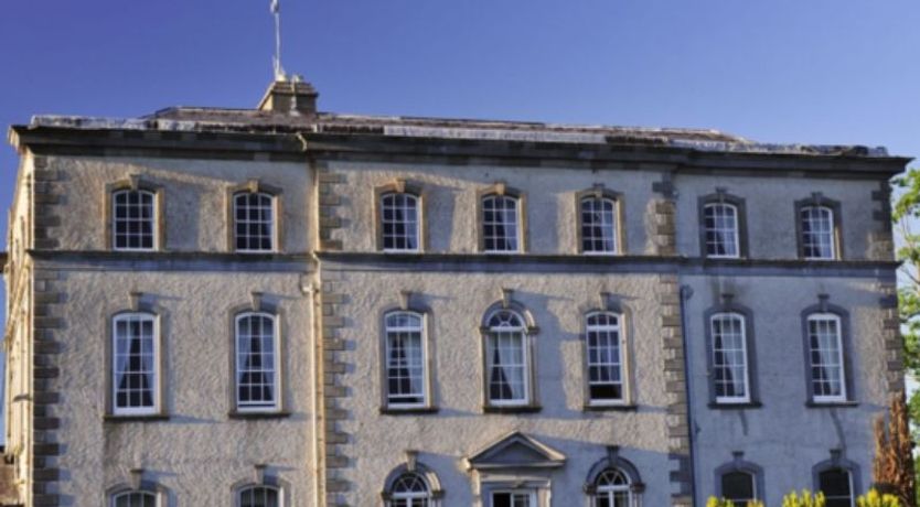
What is recorded here
Situated at the S end of a low N-S ridge, sloping steadily to the S. The Civil Survey (1654-6) refers to 'one thatcht house and twelve Cabbins' in Ballinenagh and lists 'Wm. Kenedy of Ballyneny' and ' Phillip Glysane of ye same Irish Papist' as proprietors (Simington 1934, vol. 2, 260). A cluster of houses is depicted in the south-centre of this townland on the 1st ed. (1841) OS 6-inch map but there are now no visible traces of these at ground level.
The above description is derived from 'The Archaeological Inventory of County Tipperary. Vol. 1 - North Tipperary' compiled by Jean Farrelly and Caimin O'Brien (Dublin: Stationery Office, 2002). In certain instances the entries have been revised and updated in the light of recent research.
Date of upload/revision: 22 September 2008
This remains an important historical record, but the official description says the monument is no longer visible or has been destroyed. The monument record does not grant public access. Check the route and ask the landowner before entering private land.
- What survives
- No visible remains or recorded as destroyed
Places near here
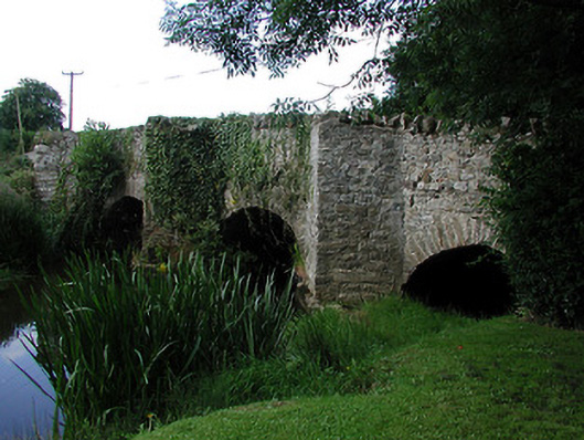 bridgebridge · 1283 yd
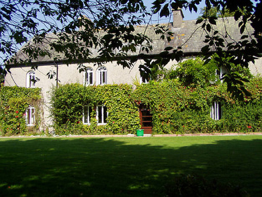 Ballynaclogh Househouse · 1310 yd
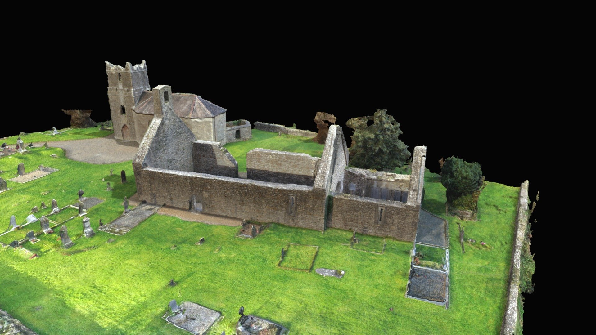 CastleCastle, Anglo-Norman masonry castle · 1317 yd
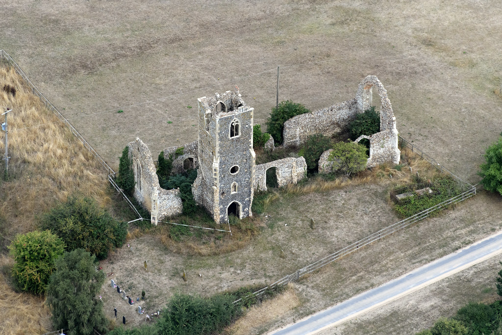 Settlement desertedSettlement deserted, medieval · 1410 yd
 CrossCross, High cross · 1578 yd
 Monaquill Ho.Castle, unclassified · 1.3 mi
 Gibbet HillMountain / peak · 1.4 mi
 Sweet ChestnutSweet Chestnut · 2.3 mi
 Our Lady Assumed into HeavenMemorial · 3.2 mi
 The MinerMemorial · 3.2 mi
 Silvermines ViewpointViewpoint · 3.3 mi
 Ballincurra HillMountain / peak · 3.4 mi
Other information
Photo: Credit not shown in the picture search · Rights wording not checked; contact us if this picture should be removed