What is recorded here
In the W sector of a cashel (CL006-009----). Not marked on the 1842 ed. of the OS 6-inch map but indicated with a solid line on the 1915 ed. A rectangular building (8m N-S; 5m E-W) defined by lines of tumbled stones (Wth 1.5–2m; max. H 0.5m).
Compiled by: Mary Tunney and Ros Ó Maoldúin
Date of upload: 28 April 2021
The monument record does not grant public access. Check the route and ask the landowner before entering private land.
- What survives
- Recorded monument
Places near here
 IndicatedEnclosure · 100 yd
 Castle Mael (in ruins)Castle, unclassified · 674 yd
 Enclosure in AillweeEnclosure · 1269 yd
 Turlough CastleArchaeological place · 1753 yd
 Moneen MountainMountain / peak · 1.5 mi
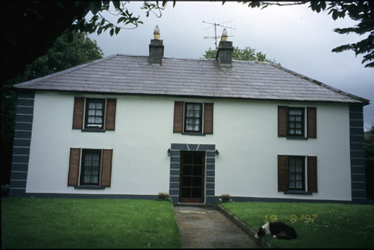 Abbey Househouse · 2.0 mi
 Aillwee Cave Visitor Centreheritage centre/interpretative centre · 2.1 mi
 Aillwee CaveCave · 2.1 mi
 Bird Of Prey CentreHeritage attraction · 2.2 mi
 PoulnabroneMemorial · 3.1 mi
 Gleninshing portal tombHeritage attraction · 3.1 mi
 The Portal TombVisitor information · 3.7 mi