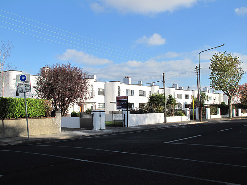
What is recorded here
Group of eighteen irregular-plan three-bay two-storey houses, built c. 1935, comprising nine semi-detached pairs having adjoining single-storey garages, full-height projecting bows to outer edge of front elevation of each pair, some with extensions over garages, some with returns to rear (north). Flat roofs hidden behind raised smooth rendered parapet walls having render capping, oblong-profile rendered chimneystacks, and some cast-iron rainwater goods. Square-headed window openings, with rendered reveals and mainly replacement windows. Square-headed door openings having cantilevered concrete canopies, with mainly replacement doors. Set back from road, with gardens to front and rear. Site enclosed by rendered walls, with square-plan piers flanking entrances, some with steel double-leaf gates.
Due to their form and scale, this group of houses makes a strong impression on the roadscape. Their design is Modernist, and certain typical characteristics are evident. Unnecessary ornament is avoided, and a smooth render finish creates a clean, simple geometric style. Curved walls and cantilevered canopies add depth and relief. The houses are arranged in mirrored pairs, creating a strong sense of balance and uniformity despite their irregular plan. The retention of the steel gates provides additional technical as well as artistic interest. This group of houses is an interesting part of the early twentieth-century architectural heritage of Raheny.
This does not grant access. Most recorded buildings are privately owned; view them only from public ground unless the owner allows entry.
Places near here
 post boxpost box · 125 yd
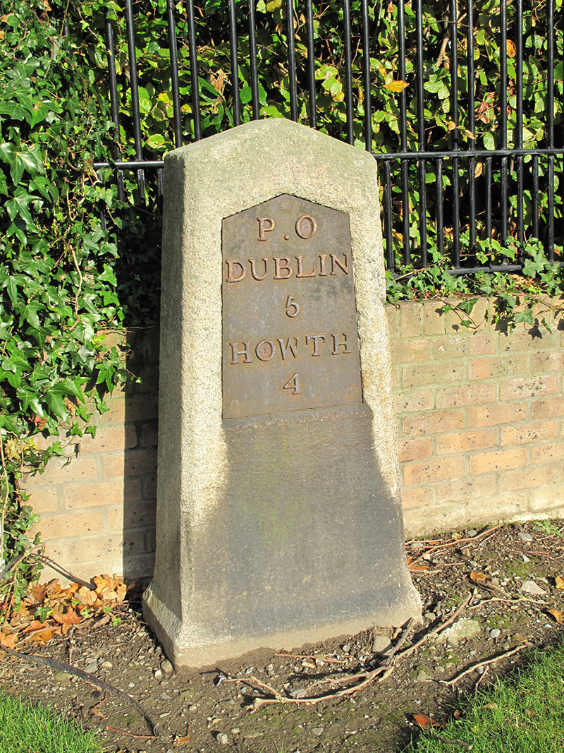 milestone/milepostmilestone/milepost · 262 yd
 Bull Island Nature ReserveVisitor information · 773 yd
 Ecclesiastical enclosure in Unknown TownlandEcclesiastical enclosure · 889 yd
 Windmill in Unknown TownlandWindmill · 894 yd
 Holm OakHolm Oak · 1018 yd
 St. Annes WoodsWood · 1094 yd
 Hermit's CaveMonument · 1177 yd
 Map of Baldoyle Industrial EstateVisitor information · 1.3 mi
 Graveyard in Kilbarrack LowerGraveyard · 1.3 mi
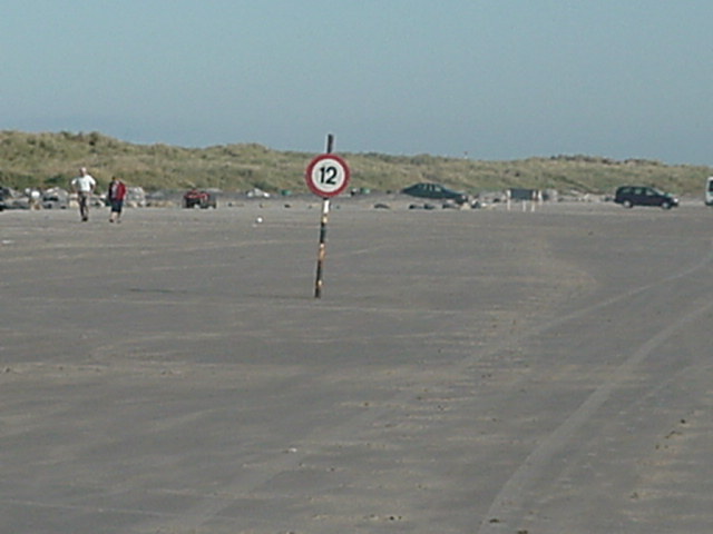 Dollymount StrandBeach / strand · 1.3 mi
 Ayrfied UnitedHeritage attraction · 1.4 mi
Other information
Photo: National Inventory of Architectural Heritage · Website use allowed for educational or private purposes with source credit