
What is recorded here
Trial excavations were undertaken in June 1996, directly opposite the ruins of a medieval church (DU015-082001-) and about 20m north of the pear-shaped enclosure of the medieval church. This revealed a V-shaped feature which may possibly be a truncated ditch. It was c. 1.15m below ground level at the base. It is similar in shape to, a ditch found by Leo Swan during roadworks in 1970. This ditch was interpreted by Swan as being the outer enclosure ditch of the medieval ecclesiastical site of Raheny. However, the area in which the ditch was found was important historically throughout the medieval period, and there are other boundary and defence features of which such a ditch could form a part. Both medieval and post-medieval pottery were found in disturbed layers adjacent to the feature (Carroll 1996).
Compiled by: Geraldine Stout
Date of upload: 26 August 2011
A local fairy fort (ringfort/rath); wider significance not recorded.
The monument record does not grant public access. Check the route and ask the landowner before entering private land.
- What survives
- Recorded monument
Places near here
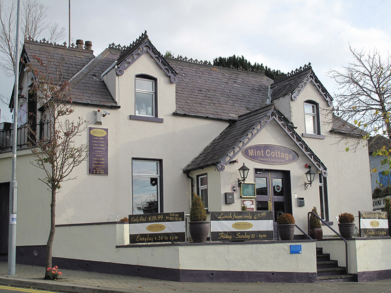 Mint Cottageschool · 32 yd
 church/chapelchurch/chapel · 41 yd
 All Saints Boundary WoodsWood · 640 yd
 Windmill in Unknown TownlandWindmill · 660 yd
 St. Annes WoodsWood · 940 yd
 Bull Island Nature ReserveVisitor information · 1072 yd
 Hermit's CaveMonument · 1081 yd
 St. Anns WellHoly well · 1100 yd
 Battle of ClontarfMajor battlefield · 1.4 mi
 Clontarf War MemorialMemorial · 1.6 mi
 Map of Baldoyle Industrial EstateVisitor information · 1.7 mi
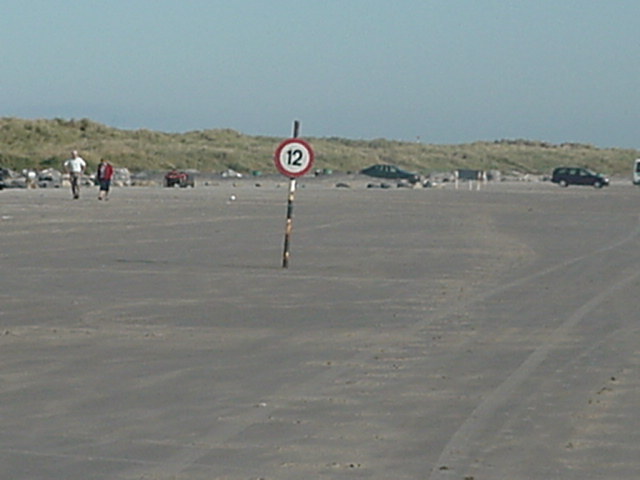 Dollymount StrandBeach / strand · 1.7 mi
Other information
Photo: Credit not shown in the picture search · Rights wording not checked; contact us if this picture should be removed