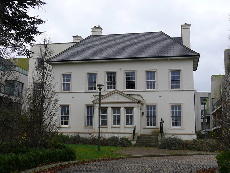
What is recorded here
Detached two-storey former house over basement, built c. 1800, having pedimented porch to former rear elevation, now six-bay front (north) elevation. Bowed bays flanking former main entrance bay to former front (south) elevation. Flat-roofed three-storey range to east elevation. Flat-roofed half basement extensions to south elevation. Later in use as hotel, now in use as apartments. Natural slate skirt roof, with lined-and-ruled rendered chimneystacks and overhanging eaves. Parapet surrounding roof to range to east, with granite coping. Rendered parapet having moulded render cornice to porch. Lined-and-ruled rendered walls, with moulded render sill course and plinth course. Pedimented entablature supported on pilasters porch, with moulded roundel to apex. Square-headed window openings with moulded render architrave surrounds, painted masonry sills and six-over-six pane timber sliding sash windows, with two-over-four pane timber sliding sash windows to porch. Square-headed door opening to west elevation of porch, with render pilasters and entablature forming doorcase, having granite steps flanked by steel railings on rendered plinth walls with granite capping. Now part of recent apartment development, set back from south of Howth Road, to east of Raheny village.
Due to its substantial form and scale, this house makes a formidable impression on the roadscape. It was reoriented in the twentieth century, probably when it was used as a hotel, to address the road to the north. The rear elevation now forms the main entrance front. The original front elevation, to the south, retains much of its architectural character, with handsome full-height bows flanking a central entrance bay. In 1862 it was listed as the residence of Edward McVey, 'ham and bacon curer, lard refiner, navy contractor and general merchant', who operated out of premises on Mabbot Street, Dublin. Now surrounded by buildings of more recent date, when it was built it was one of the few large houses in a predominantly rural area, and would have been of significance.
This does not grant access. Most recorded buildings are privately owned; view them only from public ground unless the owner allows entry.
Places near here
 post boxpost box · 42 yd
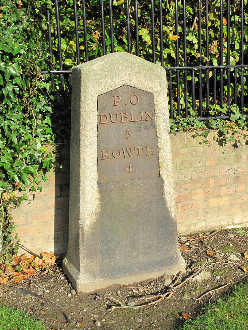 milestone/milepostmilestone/milepost · 176 yd
 Bull Island Nature ReserveVisitor information · 729 yd
 Ecclesiastical enclosure in Unknown TownlandEcclesiastical enclosure · 997 yd
 Holm OakHolm Oak · 1008 yd
 Windmill in Unknown TownlandWindmill · 1021 yd
 St. Annes WoodsWood · 1100 yd
 Hermit's CaveMonument · 1170 yd
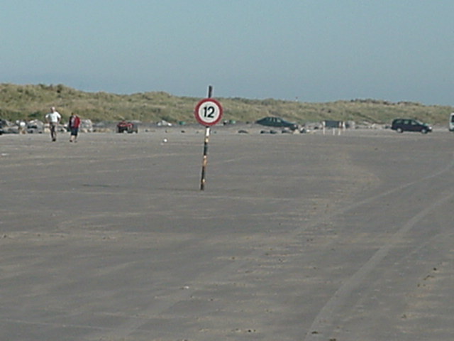 Dollymount StrandBeach / strand · 1.3 mi
 Graveyard in Kilbarrack LowerGraveyard · 1.3 mi
 Map of Baldoyle Industrial EstateVisitor information · 1.3 mi
 Ayrfied UnitedHeritage attraction · 1.4 mi
Other information
Photo: National Inventory of Architectural Heritage · Website use allowed for educational or private purposes with source credit