What is recorded here
Killathy held a large fortified house with square corner blocks, built before the Down Survey mapped it in 1655-6. The house has vanished from ordinary sight, but its shape remains preserved on the old survey. It may have stood as a local seat of power, a defensive residence, or a household centre for the surrounding land.
A large house is depicted in this townland on the Down Survey (1655-6) barony map . The house is shown as having a square block at each corner in the fashion of an early 17th-century fortified house. Its exact location is not known.
The above description is derived from 'The Archaeological Inventory of County Cork. Volume 5' (Dublin: Stationery Office, 2009).
Date of upload: 22 December 2009
The fortified house in Killathy was likely built in the early 17th century, reflecting the defensive architecture of the period. It is remembered for its distinctive square corner blocks, which are characteristic of the transition from traditional manor houses to more fortified structures in Ireland during times of political and military unrest.
The monument record does not grant public access. Check the route and ask the landowner before entering private land.
- What survives
- Recorded monument
Places near here
 Killathy Church (in Ruins)Church · 771 yd
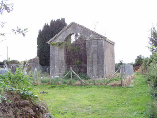 mausoleummausoleum · 782 yd
 Ballyhooly CastleCastle · 1.1 mi
 Enclosure in Ballyhooly NorthEnclosure · 1.1 mi
 G YdGraveyard · 1.1 mi
 Johnson's WoodForest · 1.6 mi
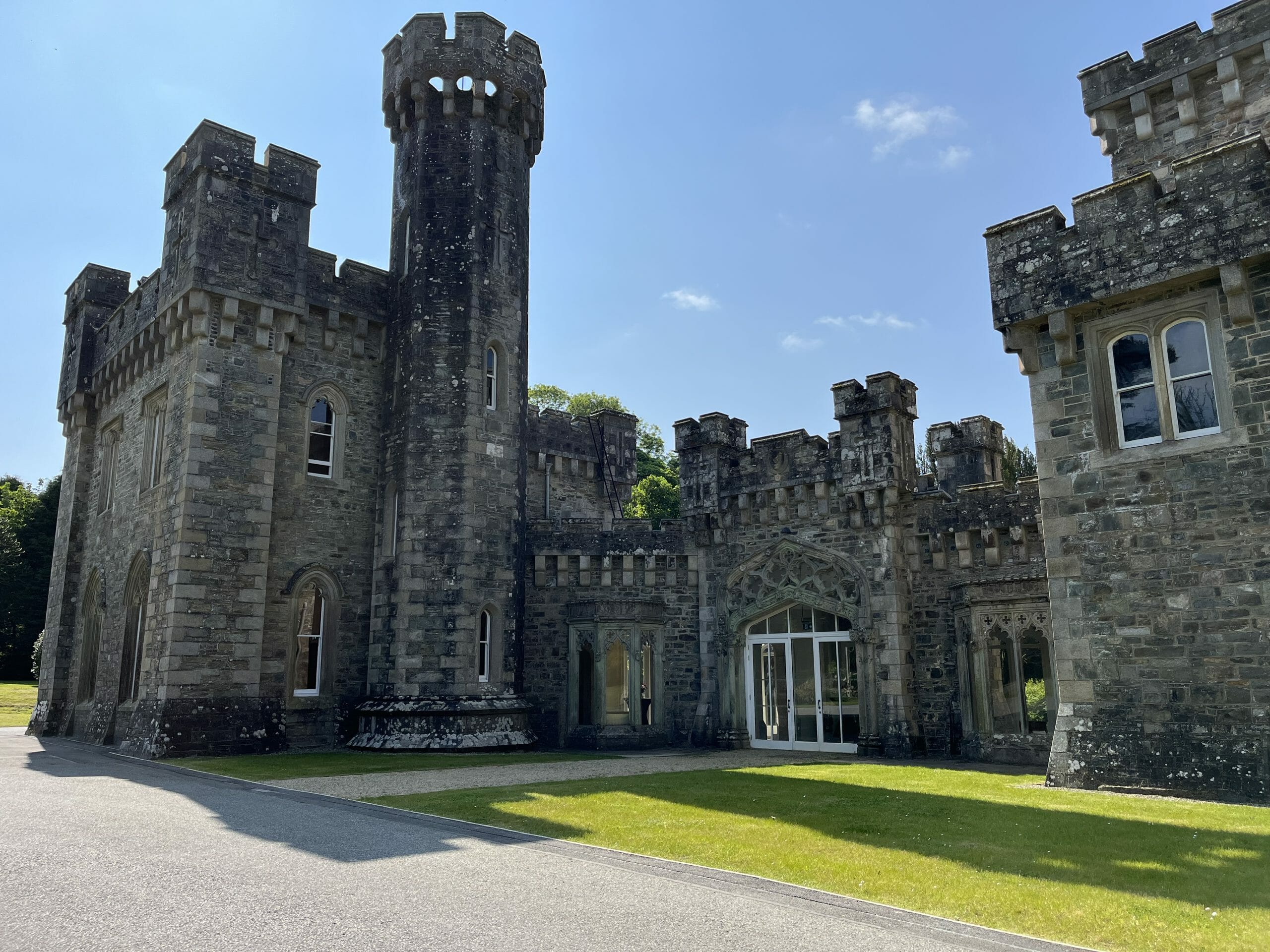 CastleCastle, unclassified · 1.6 mi
 Blackwater (Avondhu) WayWalking route · 1.8 mi
 Priest's WoodForest · 1.9 mi
 Graveyard in BoherashGraveyard · 2.8 mi
 Liam BurkeMemorial · 3.0 mi
 Cappagh XViewpoint · 3.1 mi