
What is recorded here
Cree Castle stood as a fortified tower house with an angle tower near the border of Cree and Coolnagrower during the seventeenth century. A landowner levelled its upstanding remains in the early 1980s, reducing a structure that once defied the landscape to faint humps in a field. The angle tower suggested a builder who expected danger from every direction, yet human arrogance erased what siege engines could not break.
Cree [Crea] castle is depicted on the 1655-57 Down Survey map of Ballybritt barony as a tower house type fortification with an angle tower (NLI, MS 716). On this map the castle is shown located near the northern edge of the townland border between Cree and Coolnagrower. The faintest traces of low earthworks in a field are all that survive of this seventeenth century house known as Cree Castle. The upstanding remains of the castle were levelled by the landowner in the early 1980s and only a few humps and bumps mark the site of this levelled castle. This castle is the building within the townland of Cree that is mentioned in the 17th century (Loeber 1988, 73-4).
The above description is derived from the published 'Archaeological Inventory of County Offaly' (Dublin: Stationery Office, 1997). In certain instances the entries have been revised and updated in the light of recent research.
Compiled by: Caimin O'Brien
Date of upload: 28 April 2014
Cree Castle, a tower house with an angle tower, was likely built in the late medieval period, possibly by a local Gaelic lord or Anglo-Norman family in the 15th or 16th century. It is remembered as an example of early Irish defensive architecture and appears on the 17th-century Down Survey, indicating its strategic or regional significance.
The monument record does not grant public access. Check the route and ask the landowner before entering private land.
- What survives
- Recorded monument
Places near here
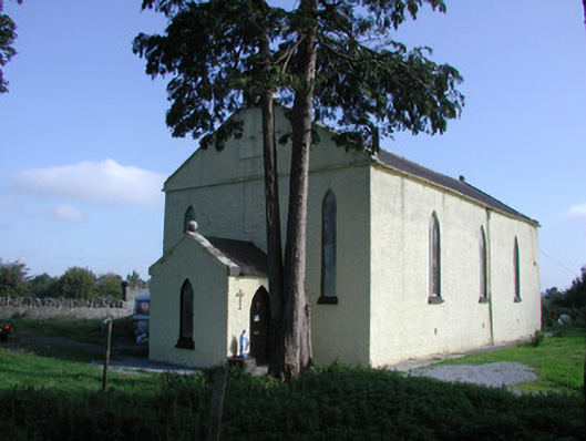 Saint Colman's Church (Kilcolman)church/chapel · 957 yd
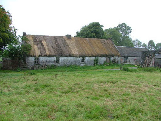 farm housefarm house · 1111 yd
 IndicatedEnclosure · 1.1 mi
 Big WoodWood · 1.2 mi
 Enclosure in Boherboy,fortelEnclosure · 1.3 mi
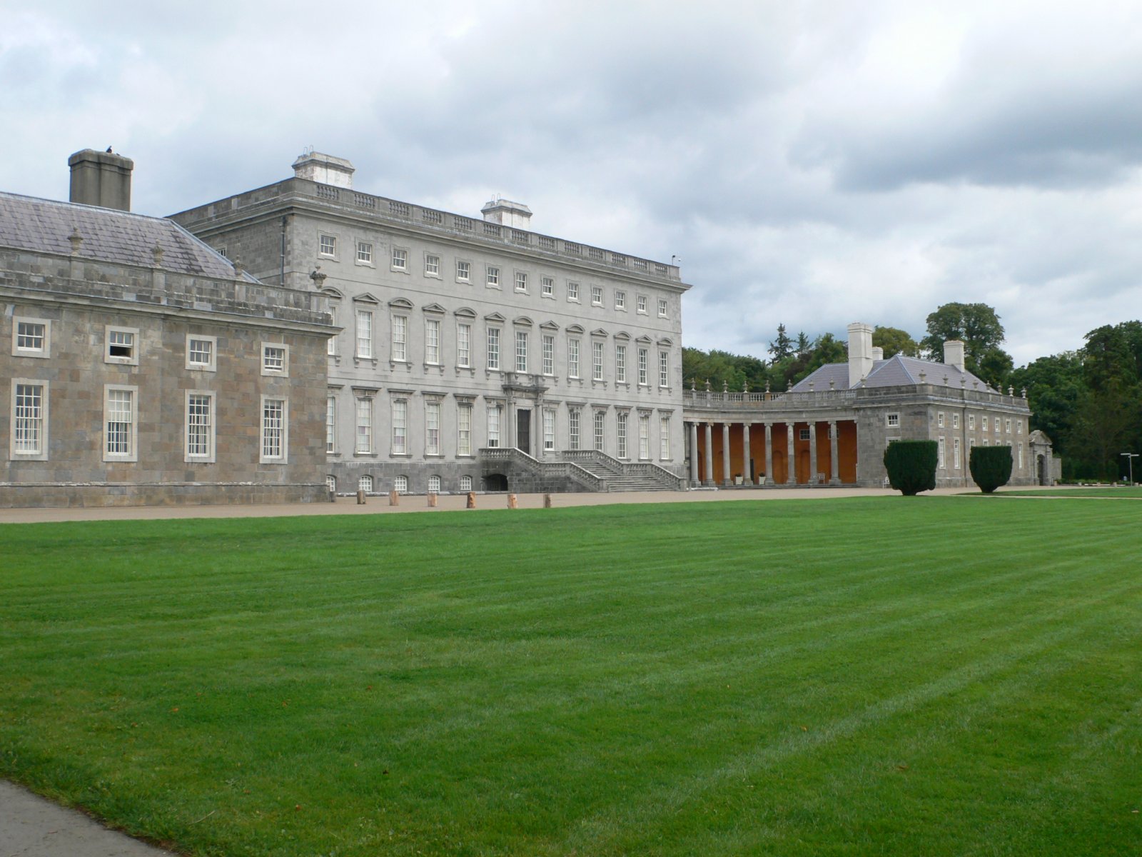 CastletownCastle, unclassified · 1.5 mi
 Clonbeg Castle in ruinsCastle, unclassified · 1.7 mi
 River WalkWalking route · 2.3 mi
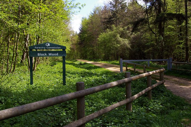 Black WoodForest · 2.3 mi
 Birr Heritage CentreMuseum · 2.5 mi
 Waterfall PointViewpoint · 2.6 mi
 James Franklin FullerMemorial · 2.7 mi
Other information
Photo: Credit not shown in the picture search · Rights wording not checked; contact us if this picture should be removed