
What is recorded here
Located at the bottom of a SE-facing slope on the N side of Rossdroit church (WX025-011----). Excavation (04E0396) at Site 1 as part of the N30 re-alignment recorded the N wall (T 0.75m) of a house (ext. dim. 9m E-W) of unknown width. An outer parallel depression is probably a drain. Its beaten earth floor overlay two E-W concentrations of stake-holes, and the house extended over the ditch (WX024-011001-). Ceramic finds suggest a mid 18th century date. (Ó Maoldúin 2004, 6, Structure 3; 2007, 468-9)
Compiled by: Michael Moore
Date of upload: 3 July, 2012
The monument record does not grant public access. Check the route and ask the landowner before entering private land.
- What survives
- Recorded monument
Places near here
 post boxpost box · 35 yd
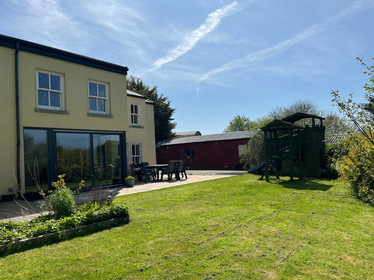 Hut site in MoneytuckerHut site · 58 yd
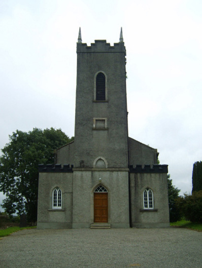 Saint Peter's Church (Rossdroit)church/chapel · 64 yd
 Field boundary in MoneytuckerField boundary · 78 yd
 Ruin of a small castleRuins · 2.1 mi
 Wilton Ho.Castle, unclassified · 2.6 mi
 Raheennahoon HillMountain / peak · 4.0 mi
 National 1798 CentreMuseum · 4.5 mi
 Duffry GateMemorial · 4.6 mi
 Battle of Vinegar HillMajor battlefield · 4.6 mi
 U.N. Peace MemorialMonument · 4.6 mi
 Carrickmastia HillMountain / peak · 5.3 mi
Other information
Photo: Credit not shown in the picture search · Rights wording not checked; contact us if this picture should be removed