What is recorded here
Listed in the SMR (1991) and the RMP (1996) as a possible enclosures on the basis of features visible on an aerial photo (OS 7 3118-9, Roll 240, pr. 4). Field investigation for the New Survey of Clare Island determined that the features represent 18th/19th-century house clusters and associated paddocks (pers. comm. Paul Gosling, 2005).
Compiled by: Jane O'Shaughnessy
Date of upload: 1st November 2011
The monument record does not grant public access. Check the route and ask the landowner before entering private land.
- What survives
- Recorded monument
Places near here
 Mass-rock in Ballytoohy MoreMass-rock · 495 yd
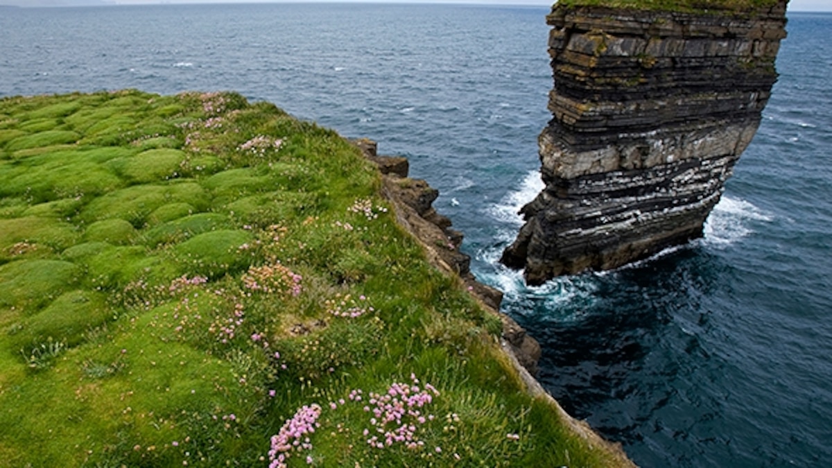 Enclosure in Ballytoohy MoreEnclosure · 655 yd
 Clare Island Lighthouselighthouse · 1435 yd
 ScalpatruceMountain / peak · 1502 yd
 Clare IslandIsland · 1581 yd
 Penitential station in CapnagowerPenitential station · 1.5 mi
 Granuaile's CastleCastle · 1.6 mi
 KnockmoreMountain / peak · 1.7 mi
 Acaill BheagIsland · 3.6 mi
 Kildavnet CastleCastle, tower house · 4.7 mi
 Caisle án GhráinneHeritage attraction · 4.7 mi
 Turloughbeg StrandBeach / strand · 5.1 mi