
What is recorded here
Oxmantown Watch House (North King Street)
Watch House depicted standing at the junction between Oxmantown (now North King Street) and Church Street. Annotated ‘Watch House’ on Rocque’s 1756 map of the Dublin City, where it is shown as a circular structure with rectangular block running off the western side standing at the eastern end of North King Street.
Compiled by: Caimin O'Brien
Date of Compilation: 13 November 2025
The monument record does not grant public access. Check the route and ask the landowner before entering private land.
- What survives
- Recorded monument
Places near here
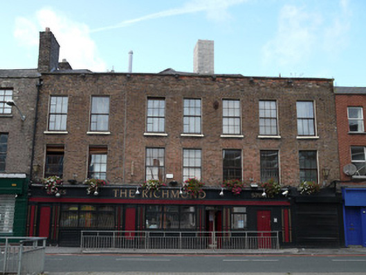 The Richmondhouse · 32 yd
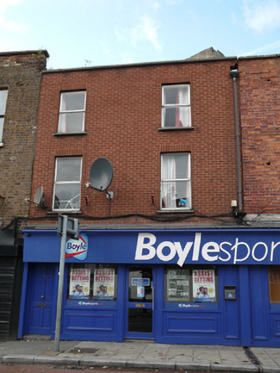 Boyle Sportshouse · 45 yd
 Habitation site in Unknown TownlandHabitation site · 243 yd
 London PlaneLondon Plane · 270 yd
 Hungry TreeHeritage attraction · 276 yd
 Burial in Unknown TownlandBurial · 288 yd
 Old Jameson DistilleryMuseum · 294 yd
 Apple OrchardVisitor information · 446 yd
 King's Inns ParkVisitor information · 447 yd
 UN Veterans MemorialMemorial · 843 yd
 Croppies Acre MemorialMemorial · 868 yd
 European PearEuropean Pear · 1008 yd
Other information
Photo: Credit not shown in the picture search · Rights wording not checked; contact us if this picture should be removed