What is recorded here
Extending into the interior of Skreen Beg rath (SL013-039001-) from the bank at NNE is a roughly rectangular area (dims. 10m NE-SW; 6m NW-SE) defined by an inward-facing scarped edge on the NW side. Its NE side is formed by the bank of the rath; its SE and SW sides by a low bank of earth and stone (Wth 2.4m; int. H 0.4m) and its NW side by an inward facing scarped edge (H 0.5m). Break in the bank (Wth 1m) midway along the SW side marks the position of original entrance. At the W half of the site the level of the interior is lower than that of the interior of the rath while on the E side it is level with it.
Compiled by: Mark Keegan
Date of upload: 19 January 2011
The monument record does not grant public access. Check the route and ask the landowner before entering private land.
- What survives
- Recorded monument
Places near here
 Enclosure in ToberawnaunEnclosure · 690 yd
 Enclosure in MasreaghEnclosure · 706 yd
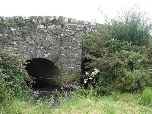 Ardnaglass Bridgebridge · 1269 yd
 Skreen Schoolschool · 1270 yd
 Dunmoran StrandBeach / strand · 1675 yd
 CastleCastle, Anglo-Norman masonry castle · 1.2 mi
 Aughris BeachBeach / strand · 1.4 mi
 Aughris HeadHeadland · 2.3 mi
 Bawn in CarrowbrickeenBawn · 2.9 mi
 Derkmore PointHeadland · 3.5 mi
 Valley WoodForest · 3.6 mi
 Knockalongy North-East TopMountain / peak · 3.6 mi