
What is recorded here
On a low rise with a thin covering of peat, immediately SW of Coosatorinth, Valencia Island. The ruins of at least three huts occur within an old field system which occupies an area with a radius of about 100m. Mitchell postulates an Early Medieval date for the cluster (1989, 69).
(3) KE078-025002-; At W, a two-roomed rectangular hut with a basal row of uprights. D: 5.7m x 3.7m.
The above description is derived from A. O'Sullivan and J. Sheehan (compilers), 'The Iveragh peninsula: an archaeological survey of South Kerry'. Cork University Press (1996), no. 1200. In certain instances the entries have been revised and updated in the light of recent research.
Date of upload: 31 July 2013
The monument record does not grant public access. Check the route and ask the landowner before entering private land.
- What survives
- Recorded monument
Places near here
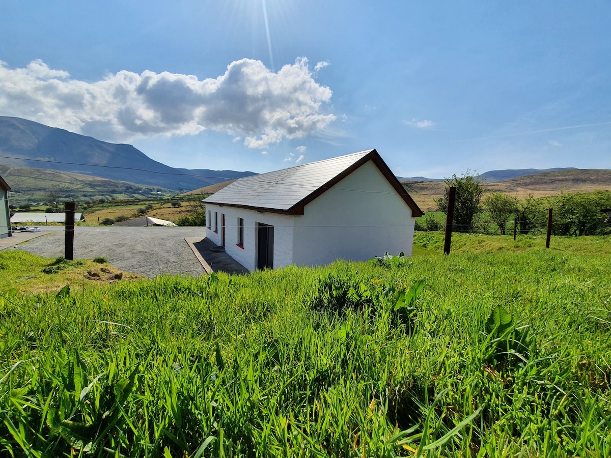 Hut site in Coarha MoreHut site · 101 yd
 Culloo RockViewpoint · 359 yd
 Promontory fortPromontory fort, coastal · 483 yd
 RoadRoad, road/trackway · 1063 yd
 Telegraph Field Valentia IslandMemorial · 1.3 mi
 ValentiaIsland · 1.4 mi
 Cromwell's FortRuins · 1.5 mi
 Fogher CliffCliff · 1.7 mi
 Skellig Experience CentreMuseum · 1.8 mi
 Bray HeadMountain / peak · 1.9 mi
 GeokaunMountain / peak · 2.0 mi
 Horse IslandIslet · 2.0 mi
Other information
Photo: Credit not shown in the picture search · Rights wording not checked; contact us if this picture should be removed