What is recorded here
Discovered during excavation of enclosure (CO142-091001-) at Carrigillihy. O'Kelly (1951, 69-86) describes wall foundations (max. H 2 feet) of a drystone-built house (ext. L 28 feet; Wth ext. 28 feet; L int. 20 feet; Wth int. 17 feet); long axis WNW-ESE: there are two opes, opposite each other on the shorter wall. He dates the site to the Early Christian period or later.
The above description is derived from the published 'Archaeological Inventory of County Cork. Volume 1: West Cork' (Dublin: Stationery Office, 1992). In certain instances the entries have been revised and updated in the light of recent research.
Date of upload/revision: 14 January 2009
The monument record does not grant public access. Check the route and ask the landowner before entering private land.
- What survives
- Recorded monument
Places near here
 Enclosure in CarrigillihyEnclosure · 1 yd
 Seaview Housefarm house · 189 yd
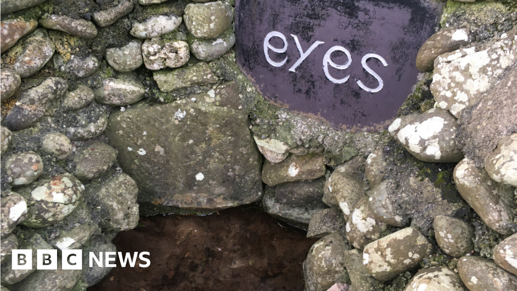 Holy well in CarrigillihyHoly well · 219 yd
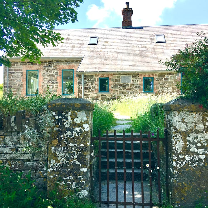 Strand of the Old HouseBeach / strand · 309 yd
 Carraig-ín MhóireNamed rock · 739 yd
 Eve IslandIslet · 813 yd
 Cuas DallBeach / strand · 866 yd
 Long PointHeadland · 941 yd
 Adam's IslandIslet · 1433 yd
 Cooks WoodWood · 1481 yd
 Seomraí Faoi ThalamhCave · 1503 yd
 Péicin Thalamh na GainmheMountain / peak · 1.1 mi